
1952 Map of Birding Island
USGS Topo · Published 1953About this map
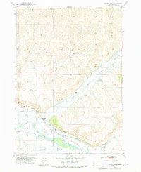
Birding Island lies at the heart of this Idaho landscape, formed by the split of the Payette River and Big Willow Creek. The map documents a highly managed water system essential for local agriculture, featuring the Diversion Dam, the winding Forty-nine Slough, and an extensive network of unnamed ditches. On the northern bank of the creek, the Fort Wilson (Site) marks a point of significant historical interest, suggesting the early frontier footprint in Payette County. The terrain is shaped by both natural drainage and industrial utility, with several Gravel Pits and a Rock Quarry carved into the hills. Transportation is defined by a mix of established roads and more ephemeral routes, including a Jeep trail and a primitive Trail cutting through the northern gulches. An Airway Beacon on a high ridge underscores the era's reliance on visual navigation aids for regional flight paths.
Find a feature on this map
24 named features on this map. Tap any name to fly to it.
Don’t see what you’re looking for? This feature index may not catch every label — zoom into the map to look around manually.
Map Details
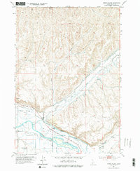
Editions of this 1952 Birding Island Map
3 editions found
Other maps of this area

1897 · Weiser
USGS Topo · 1:125,000

1898 · Nampa
USGS Topo · 1:125,000

1951 · Payette
USGS Topo · 1:24,000

1951 · Weiser South
USGS Topo · 1:24,000

1952 · Weiser Cove
USGS Topo · 1:24,000

1955 · Baker
USGS Topo · 1:250,000

1955 · Boise
USGS Topo · 1:250,000

1958 · Boise
USGS Topo · 1:250,000

1959 · Baker
USGS Topo · 1:250,000

1962 · Boise
USGS Topo · 1:250,000