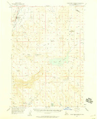
1952 Map of Weiser Cove
USGS Topo · Published 1976About this map
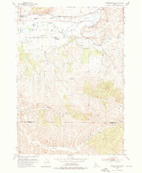
The Weiser River valley in the early 1950s is defined by a sophisticated network of irrigation and transportation, where the Galloway Canal and several siphons move water across the semi-arid landscape. The Union Pacific Railroad runs parallel to the river, serving the small settlement of Rebecca and nearby agricultural interests. Evidence of early 20th-century rural life is captured in the presence of the Jeffreys School and the already noted Pleasant View School (Aban'd), indicating a shifting population pattern in this corner of Idaho.
Find a feature on this map
39 named features on this map. Tap any name to fly to it.
Don’t see what you’re looking for? This feature index may not catch every label — zoom into the map to look around manually.
Map Details
Editions of this 1952 Weiser Cove Map
2 editions found
Other maps of this area

1897 · Weiser
USGS Topo · 1:125,000
1951 · Payette
USGS Topo · 1:24,000
1951 · Weiser South
USGS Topo · 1:24,000

1952 · Weiser Cove
USGS Topo · 1:24,000
1952 · Birding Island
USGS Topo · 1:24,000

1953 · Mann Creek
USGS Topo · 1:62,500

1955 · Baker
USGS Topo · 1:250,000
1957 · Crane Creek Reservoir
USGS Topo · 1:62,500

1959 · Baker
USGS Topo · 1:250,000
1970 · Sheep Ridge
USGS Topo · 1:24,000