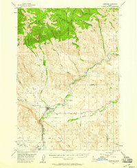
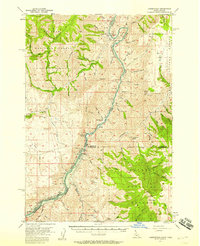
1957 Map of Cambridge
USGS Topo · Published 1958About this map
The Weiser River valley forms the central corridor of this mid-century Idaho survey, where the Union Pacific railroad tracks trace the river’s path through Cambridge. This area serves as a significant intersection of mountainous ranching land and valley agriculture, with the northern reaches dominated by the Payette National Forest and the peaks of the Cuddy Mountains. Small rural hubs like Middle Valley, Dixie, and Goodrich are interconnected by early improved roads and rail lines, reflecting a landscape centered on transport and livestock.
Find a feature on this map
41 named features on this map. Tap any name to fly to it.
Don’t see what you’re looking for? This feature index may not catch every label — zoom into the map to look around manually.
Map Details
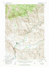
Editions of this 1957 Cambridge Map
2 editions found
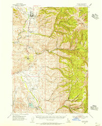
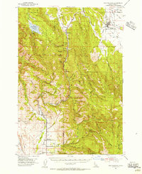
Other maps of this area

1894 · Squaw Creek
USGS Topo · 1:125,000

1897 · Weiser
USGS Topo · 1:125,000

1911 · Meadows
USGS Topo · 1:125,000

1953 · Mann Creek
USGS Topo · 1:62,500
1954 · Council
USGS Topo · 1:62,500
1954 · New Meadows
USGS Topo · 1:62,500

1955 · Baker
USGS Topo · 1:250,000
1957 · Cambridge
USGS Topo · 1:62,500
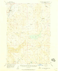
1957 · Crane Creek Reservoir
USGS Topo · 1:62,500
1957 · Copperfield
USGS Topo · 1:62,500