
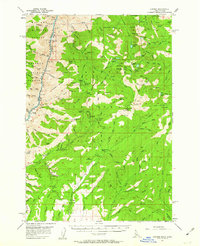
1957 Map of Cuprum
USGS Topo · Published 1958About this map
The mining community of Cuprum serves as a central hub in this survey of the Seven Devils Mts, illustrating the transition of Idaho's copper belt during the mid-20th century. While Cuprum appears active, the map records the waning influence of earlier extraction efforts through labeled locations like Landore (Site) and Helena (Site), markers of former mountain boomtowns. The landscape is heavily marked by the region's mineral history, featuring the Red Lodge Mine, South Peacock Mine, Alaska Mine, and the Bluejacket Mine.
Find a feature on this map
140 named features on this map. Tap any name to fly to it.
Don’t see what you’re looking for? This feature index may not catch every label — zoom into the map to look around manually.
Map Details
Editions of this 1957 Cuprum Map
3 editions found
Other maps of this area

1911 · Meadows
USGS Topo · 1:125,000

1920 · Seven Devils Mining District
USGS Topo · 1:48,000

1922 · He Devil
USGS Topo · 1:48,000

1938 · Riggins
USGS Topo · 1:96,000

1945 · Riggins
USGS Topo · 1:125,000

1954 · New Meadows
USGS Topo · 1:62,500

1954 · Harl Butte
USGS Topo · 1:62,500

1955 · Baker
USGS Topo · 1:250,000

1955 · Grangeville
USGS Topo · 1:250,000

1957 · He Devil
USGS Topo · 1:62,500