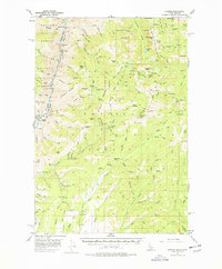
1957 Map of Cuprum
USGS Topo · Published 1978About this map
Cuprum and its surrounding mountain terrain are defined by a history of mining and remote settlement along the Snake River canyon. This 1957 field survey documents the high-elevation landscapes of the Seven Devils Mts, where numerous mines such as the Red Ledge Mine and South Peacock Mine operated. The map captures transition points where former mining camps like Helena and Landore had already become historical markers, while active livestock operations like Barrinaga Corrals and Lynes Ranch persist in the lower drainages. The complex topography features dramatic elevation changes from Eagle Bar at the river's edge up to Monument Peak, reflecting the area's difficult accessibility and dependence on pack trails and mountain roads. Water sources like Black Lake, Satan Lake, and the many gulches feeding into Granite Creek provided essential resources for both prospectors and ranchers in this part of the Wallowa National Forest.
Find a feature on this map
131 named features on this map. Tap any name to fly to it.
Don’t see what you’re looking for? This feature index may not catch every label — zoom into the map to look around manually.
Map Details
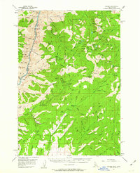
Editions of this 1957 Cuprum Map
3 editions found

Other maps of this area

1911 · Meadows
USGS Topo · 1:125,000

1920 · Seven Devils Mining District
USGS Topo · 1:48,000

1922 · He Devil
USGS Topo · 1:48,000

1938 · Riggins
USGS Topo · 1:96,000

1945 · Riggins
USGS Topo · 1:125,000

1954 · New Meadows
USGS Topo · 1:62,500

1954 · Harl Butte
USGS Topo · 1:62,500

1955 · Baker
USGS Topo · 1:250,000

1955 · Grangeville
USGS Topo · 1:250,000

1957 · He Devil
USGS Topo · 1:62,500