
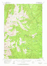
1954 Map of Cornucopia
USGS Topo · Published 1958About this map
Cornucopia Mines and the Queen Mine define the southern reaches of this survey, marking a period when hard-rock mining shaped the local economy along the Wallowa and Baker County line. The settlement of Cornucopia sits at the base of Cornucopia Peak, serving as a hub for the surrounding wilderness. To the north, the Wallowa Mountain Sheep Refuge and Wallowa Whitman National Forest protect a landscape of high alpine basins and peaks, including Bonneville Mtn and Aneroid Mtn.
Find a feature on this map
87 named features on this map. Tap any name to fly to it.
Don’t see what you’re looking for? This feature index may not catch every label — zoom into the map to look around manually.
Map Details
Editions of this 1954 Cornucopia Map
4 editions found
Other maps of this area

1915 · Pine
USGS Topo · 1:125,000

1954 · Eagle Cap
USGS Topo · 1:62,500

1954 · Harl Butte
USGS Topo · 1:62,500

1955 · Baker
USGS Topo · 1:250,000

1955 · Grangeville
USGS Topo · 1:250,000

1957 · Enterprise
USGS Topo · 1:62,500

1957 · Joseph
USGS Topo · 1:62,500

1957 · Halfway
USGS Topo · 1:62,500

1957 · Homestead
USGS Topo · 1:62,500

1957 · Copperfield
USGS Topo · 1:62,500