
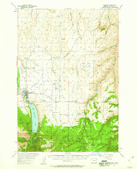
1957 Map of Joseph
USGS Topo · Published 1957About this map
The town of Joseph serves as the focal point of this 1957 topographic study, situated where the Wallowa River flows from the massive glacial waters of Wallowa Lake. The landscape is defined by a sophisticated network of irrigation systems, including the Granger Ditch, Farmers Ditch, and Moonshine Ditch, which support the agricultural life of the Prairie. These waterways represent the vital engineering that allowed settlements like Dobbins and Pleasant Center to thrive in the shadow of the Wallowa Mountain range.
Find a feature on this map
78 named features on this map. Tap any name to fly to it.
Don’t see what you’re looking for? This feature index may not catch every label — zoom into the map to look around manually.
Map Details
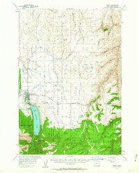
Editions of this 1957 Joseph Map
3 editions found
Other maps of this area

1954 · Cornucopia
USGS Topo · 1:62,500

1954 · Imnaha
USGS Topo · 1:62,500

1954 · Eagle Cap
USGS Topo · 1:62,500

1954 · Harl Butte
USGS Topo · 1:62,500

1955 · Grangeville
USGS Topo · 1:250,000

1957 · Enterprise
USGS Topo · 1:62,500

1957 · Homestead
USGS Topo · 1:62,500

1957 · Sled Springs
USGS Topo · 1:62,500

1957 · Elk Mountain
USGS Topo · 1:62,500

1959 · Grangeville
USGS Topo · 1:250,000