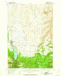
1957 Map of Joseph
USGS Topo · Published 1958About this map
Joseph serves as the primary hub at the foot of the mountains in this mid-century survey, where the valley floor meets the high peaks. The landscape is defined by an intricate network of irrigation ditches and rural infrastructure, including Liberty Grange, Pleasant Center, and the Pratt Sch. Genealogists will find three distinct burial grounds near the town site: Joseph Cem, Prairie Cr Cemetery, and the Chief Joseph Cem.
Find a feature on this map
105 named features on this map. Tap any name to fly to it.
Don’t see what you’re looking for? This feature index may not catch every label — zoom into the map to look around manually.
Map Details
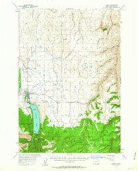
Editions of this 1957 Joseph Map
3 editions found
Other maps of this area

1954 · Cornucopia
USGS Topo · 1:62,500

1954 · Imnaha
USGS Topo · 1:62,500

1954 · Eagle Cap
USGS Topo · 1:62,500

1954 · Harl Butte
USGS Topo · 1:62,500

1955 · Grangeville
USGS Topo · 1:250,000

1957 · Enterprise
USGS Topo · 1:62,500

1957 · Joseph
USGS Topo · 1:62,500

1957 · Homestead
USGS Topo · 1:62,500

1957 · Sled Springs
USGS Topo · 1:62,500

1957 · Elk Mountain
USGS Topo · 1:62,500