
1957 Map of Elk Mountain
USGS Topo · Published 1959About this map
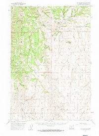
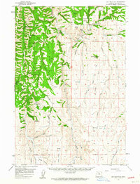
Wallowa National Forest land dominates this 1950s landscape, where isolated outposts like the Swamp Creek Cow Camp and Chico Guard Sta served the administrative and agricultural needs of the high country. The terrain is defined by deep drainages such as Joseph Creek and Chesnimnus Creek, with the prominent Elk Mountain rising above the surrounding timberland. Settlement is sparse and largely confined to ranching and local infrastructure, evidenced by the Hinton Ranch and the presence of the Lewis Sch, suggesting a community of families working the land far from major urban centers. Traces of early land management are visible through the Willamette Base Line and the network of primitive routes like the Lewis Road, which provided vital access through the buttes and canyons of Wallowa County.
Find a feature on this map
64 named features on this map. Tap any name to fly to it.
Don’t see what you’re looking for? This feature index may not catch every label — zoom into the map to look around manually.
Map Details
Editions of this 1957 Elk Mountain Map
3 editions found
Other maps of this area

1954 · Imnaha
USGS Topo · 1:62,500

1954 · Harl Butte
USGS Topo · 1:62,500

1955 · Grangeville
USGS Topo · 1:250,000

1957 · Enterprise
USGS Topo · 1:62,500

1957 · Joseph
USGS Topo · 1:62,500

1957 · Sled Springs
USGS Topo · 1:62,500

1959 · Grangeville
USGS Topo · 1:250,000

1963 · Poison Point
USGS Topo · 1:24,000
1967 · Table Mountain
USGS Topo · 1:24,000
1967 · Billy Meadows
USGS Topo · 1:24,000