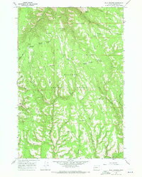
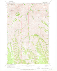
1967 Map of Billy Meadows
USGS Topo · Published 1971About this map
Wallowa National Forest land defines this mid-century landscape in Wallowa County, where the high ridges of the Oregon wilderness were managed through a network of remote outposts and trails. The Billy Meadows Guard Station and a high Lookout Tower on a prominent rise overlooking Red Hill Creek served as vital hubs for forest service operations and fire watch. This 1967 survey captures the area's transition into a recreational and grazing landscape, as evidenced by the distribution of sites like Dougherty Spring Campground and the Hollow Log Cow Camp. High-altitude water sources like Yew Wood Spring and Poker Bill Spring provide life to the drainage basins of Brandy Creek and Coyote Creek. The map is heavily marked with primitive transportation routes, including the Aspen Spring Trail and numerous unnamed Jeep Trails that traverse Getchel Ridge and Long Ridge.
Find a feature on this map
50 named features on this map. Tap any name to fly to it.
Don’t see what you’re looking for? This feature index may not catch every label — zoom into the map to look around manually.
Map Details
Editions of this 1967 Billy Meadows Map
2 editions found
Other maps of this area

1954 · Imnaha
USGS Topo · 1:62,500

1955 · Grangeville
USGS Topo · 1:250,000

1957 · Elk Mountain
USGS Topo · 1:62,500

1959 · Grangeville
USGS Topo · 1:250,000

1963 · Jim Creek Butte
USGS Topo · 1:24,000

1963 · Poison Point
USGS Topo · 1:24,000
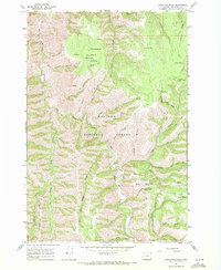
1967 · Table Mountain
USGS Topo · 1:24,000
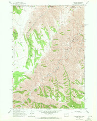
1967 · Paradise
USGS Topo · 1:24,000
1967 · Teepee Butte
USGS Topo · 1:24,000

1980 · Grangeville
USGS Topo · 1:100,000