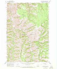
1967 Map of Table Mountain
USGS Topo · Published 1971About this map
Wallowa National Forest land defines this section of Northeast Oregon, where the convergence of the North Fork Wallowa Creek and South Fork Wallowa Creek creates a deeply dissected landscape. At the center of the survey stands Table Mountain, a prominent high-plateau feature fed by numerous water sources including Table Mountain Spr, Wilder Spring, and Milk Spring. The area is characterized by significant elevation changes, from the heights of Starvation Ridge to the steep descent into Joseph Creek. The map documents a network of primitive access routes, including a Pack Trail winding through Pole Patch Canyon and the Sleepy Bill Trail near Kirkland Campground. A notable landmark for fire suppression and surveillance is the Kirkland Lookout Tower, situated near the headwaters of Peavine Creek and Rush Creek, overseeing the vast timber and drainage systems during the late 1960s.
Find a feature on this map
44 named features on this map. Tap any name to fly to it.
Don’t see what you’re looking for? This feature index may not catch every label — zoom into the map to look around manually.
Map Details
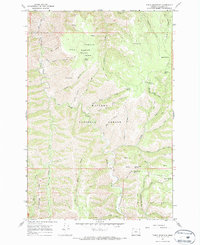
Editions of this 1967 Table Mountain Map
2 editions found
Other maps of this area

1955 · Grangeville
USGS Topo · 1:250,000

1957 · Sled Springs
USGS Topo · 1:62,500

1957 · Elk Mountain
USGS Topo · 1:62,500

1959 · Grangeville
USGS Topo · 1:250,000
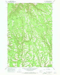
1967 · Billy Meadows
USGS Topo · 1:24,000
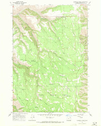
1967 · Shamrock Creek
USGS Topo · 1:24,000
1967 · Paradise
USGS Topo · 1:24,000
1967 · Teepee Butte
USGS Topo · 1:24,000
1967 · Flora
USGS Topo · 1:24,000

1982 · Wallowa
USGS Topo · 1:100,000