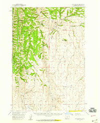
1957 Map of Sled Springs
USGS Topo · Published 1959About this map
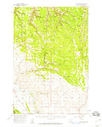
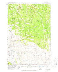
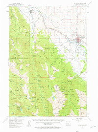
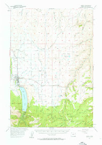
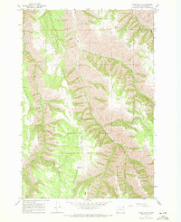
The Wallowa National Forest dominates this mid-century landscape, characterized by high ridges and a complex network of springs and creeks. Ranching and forest management are central to the area's identity, evidenced by the Feagin Ranch and the Sled Springs Guard Sta. In the southwest corner, the topography softens near the Lostine River, where the Union Pacific Railroad and the Lostine Siding served the local community of Evans. For genealogists and local historians, the Wallowa Cem and Lostine Cem are significant points of interest. The map also records the location of the Summit Spring Forest Camp, highlighting the era's recreational use of the mountains. Distinctive landforms such as Washboard Ridge, Starvation Ridge, and Wayne Butte define the watershed divides between canyons like Whiskey Creek and Wildcat Creek.
Find a feature on this map
58 named features on this map. Tap any name to fly to it.
Don’t see what you’re looking for? This feature index may not catch every label — zoom into the map to look around manually.
Map Details
Editions of this 1957 Sled Springs Map
2 editions found
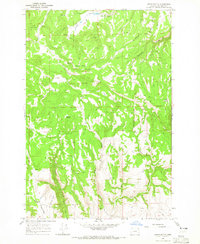
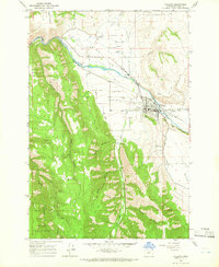
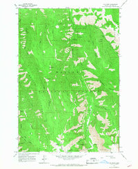
Other maps of this area

1906 · Telocaset
USGS Topo · 1:125,000

1955 · Grangeville
USGS Topo · 1:250,000
1957 · Enterprise
USGS Topo · 1:62,500
1957 · Joseph
USGS Topo · 1:62,500
1957 · Elk Mountain
USGS Topo · 1:62,500

1959 · Grangeville
USGS Topo · 1:250,000
1964 · Akers Butte
USGS Topo · 1:24,000
1964 · Wallowa
USGS Topo · 1:24,000
1965 · Fox Point
USGS Topo · 1:24,000
1967 · Wood Butte
USGS Topo · 1:24,000