
1965 Map of Fox Point
USGS Topo · Published 1967About this map
Wallowa National Forest dominates this mid-1960s landscape, where high-elevation landmarks and timber-management infrastructure define the high country. The map documents the primitive transportation network of the era, featuring a extensive system of routes like the Washboard Trail, Dobbin Trail, and various unnamed pack and jeep trails that connected remote stations. Administrative outposts such as the Bear Creek Guard Station and Standley Guard Station served as critical hubs for forest rangers and survey crews, while the Boundary Campground provided a localized point of access for early recreationists.
Find a feature on this map
35 named features on this map. Tap any name to fly to it.
Don’t see what you’re looking for? This feature index may not catch every label — zoom into the map to look around manually.
Map Details
Editions of this 1965 Fox Point Map
2 editions found
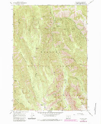
Other maps of this area

1906 · Telocaset
USGS Topo · 1:125,000

1955 · Grangeville
USGS Topo · 1:250,000

1957 · Enterprise
USGS Topo · 1:62,500

1957 · Sled Springs
USGS Topo · 1:62,500

1959 · Grangeville
USGS Topo · 1:250,000

1964 · Wallowa
USGS Topo · 1:24,000

1964 · Minam
USGS Topo · 1:24,000
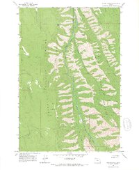
1965 · Mount Moriah
USGS Topo · 1:24,000
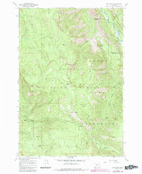
1965 · Mt. Fanny
USGS Topo · 1:24,000
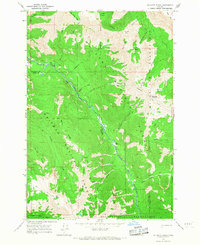
1966 · Jim White Ridge
USGS Topo · 1:24,000