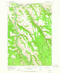
1964 Map of Minam
USGS Topo · Published 1966About this map
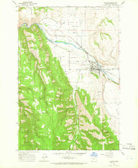
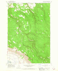
Minam serves as a small rail and river hub at the confluence of the Wallowa River and the Minam River in the mid-1960s. This survey illustrates a landscape deeply shaped by the Union Pacific railroad corridor, which follows the river's winding path through the canyon. The presence of a substation and a Roadside Rest along the northern banks highlights the transition toward modernized infrastructure and tourism in this part of the Wallowa National Forest.
Find a feature on this map
27 named features on this map. Tap any name to fly to it.
Don’t see what you’re looking for? This feature index may not catch every label — zoom into the map to look around manually.
Map Details
Editions of this 1964 Minam Map
2 editions found
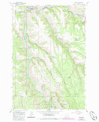
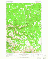
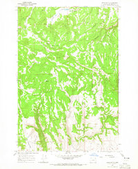
Other maps of this area

1906 · Telocaset
USGS Topo · 1:125,000

1955 · Grangeville
USGS Topo · 1:250,000

1959 · Grangeville
USGS Topo · 1:250,000
1964 · Howard Butte
USGS Topo · 1:24,000
1964 · Akers Butte
USGS Topo · 1:24,000
1964 · Cricket Flat
USGS Topo · 1:24,000
1964 · Wallowa
USGS Topo · 1:24,000
1964 · Rondowa
USGS Topo · 1:24,000
1965 · Fox Point
USGS Topo · 1:24,000
1965 · Gasset Bluff
USGS Topo · 1:24,000