
1906 Map of Telocaset
USGS Topo · Published 1906About this map
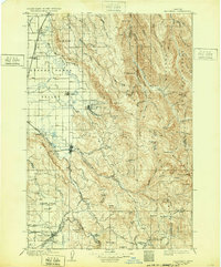
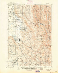
Union serves as a central hub in the eastern Oregon landscape of 1906, situated where the foothills meet the Grande Ronde Valley. The geography is defined by a sophisticated water management and transport network, including the State Ditch and the Oregon Railroad and Navigation Co, which connects settlements like Alicel and Telocaset. In the east, the Wallowa Forest Reserve covers the high timberlands, while the Grande Ronde River winds through the valley floor near the curative waters of Hot Lake. This era shows a transition from rugged pioneer outposts to established agricultural and railroad towns, evidenced by the numerous named irrigation projects like the Coughanour Ditch and local landmarks such as Medical Springs and Horse Ranch.
Find a feature on this map
77 named features on this map. Tap any name to fly to it.
Don’t see what you’re looking for? This feature index may not catch every label — zoom into the map to look around manually.
Map Details
Editions of this 1906 Telocaset Map
3 editions found
Other maps of this area

1901 · Baker City
USGS Topo · 1:125,000

1901 · Sumpter
USGS Topo · 1:125,000

1915 · Pine
USGS Topo · 1:125,000

1953 · Pendleton
USGS Topo · 1:250,000

1954 · Eagle Cap
USGS Topo · 1:62,500

1955 · Baker
USGS Topo · 1:250,000

1955 · Grangeville
USGS Topo · 1:250,000

1955 · Canyon City
USGS Topo · 1:250,000

1956 · Pendleton
USGS Topo · 1:250,000

1957 · Enterprise
USGS Topo · 1:62,500