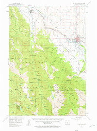
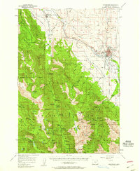
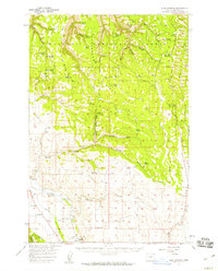
1957 Map of Enterprise
USGS Topo · Published 1957About this map
Enterprise and Lostine serve as the primary valley settlements in this late 1950s survey of Wallowa County. The landscape is defined by the sharp transition from the agricultural lower valleys to the high peaks of the Wallowa Mountains. Grounded in the logging and recreation economy of the era, the map identifies numerous specific locations such as Irondyke Camp, Lillyville Forest Camp, and Lapover Ranch. Transportation is anchored by the Union Pacific railroad corridor following the Wallowa River, while the southern reaches showcase the early boundaries of the Eagle Cap Wilderness Area. Notable landmarks of local history include the Chief Joseph Monument, the Joseph Cem, and the Hurricane Grange. The presence of the Joseph Mtn Mines and several quarries near the valley floor points to the extraction history that shaped these communities alongside the alpine timber industry.
Find a feature on this map
96 named features on this map. Tap any name to fly to it.
Don’t see what you’re looking for? This feature index may not catch every label — zoom into the map to look around manually.
Map Details
Editions of this 1957 Enterprise Map
2 editions found
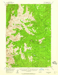
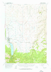
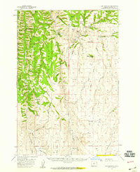
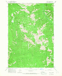
Other maps of this area

1906 · Telocaset
USGS Topo · 1:125,000
1954 · Cornucopia
USGS Topo · 1:62,500

1954 · Eagle Cap
USGS Topo · 1:62,500

1955 · Grangeville
USGS Topo · 1:250,000
1957 · Joseph
USGS Topo · 1:62,500
1957 · Sled Springs
USGS Topo · 1:62,500
1957 · Elk Mountain
USGS Topo · 1:62,500

1959 · Grangeville
USGS Topo · 1:250,000
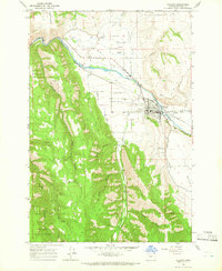
1964 · Wallowa
USGS Topo · 1:24,000
1965 · China Cap
USGS Topo · 1:24,000