
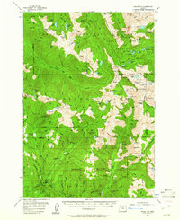
1954 Map of Eagle Cap
USGS Topo · Published 1958About this map
Sacajawea Peak and the Matterhorn dominate the high-elevation divide of the Wallowa Mountains in this mid-century survey. The landscape is defined by its network of glacial lakes and headwaters, including Mirror Lake, Ice Lake, and Moccasin Lake, which feed the descending Minam River and Lostine River. Human presence is concentrated around seasonal and resource-based outposts like the Boulder Park Resort and the Two Color Guard Sta.
Find a feature on this map
136 named features on this map. Tap any name to fly to it.
Don’t see what you’re looking for? This feature index may not catch every label — zoom into the map to look around manually.
Map Details
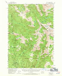
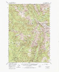
Editions of this 1954 Eagle Cap Map
4 editions found
Other maps of this area

1901 · Baker City
USGS Topo · 1:125,000

1906 · Telocaset
USGS Topo · 1:125,000

1915 · Pine
USGS Topo · 1:125,000

1954 · Cornucopia
USGS Topo · 1:62,500

1955 · Baker
USGS Topo · 1:250,000

1955 · Grangeville
USGS Topo · 1:250,000

1957 · Enterprise
USGS Topo · 1:62,500

1957 · Joseph
USGS Topo · 1:62,500

1957 · Halfway
USGS Topo · 1:62,500

1957 · Sparta
USGS Topo · 1:62,500