1954 Map of Eagle Cap
USGS Topo · Published 1971About this map
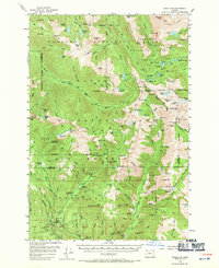
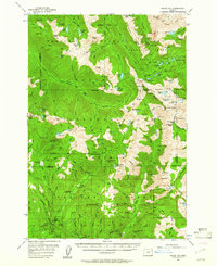
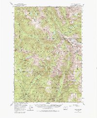
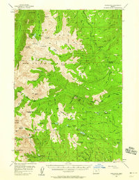
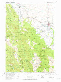
Sacajawea Peak and the Matterhorn anchor the high alpine terrain of the Eagle Cap Wilderness Area in this mid-century survey of the Wallowa Mountains. The map illustrates a complex network of glacial lakes and river headwaters, where the Minam River and Eagle Creek originate. Human presence is defined by high-altitude infrastructure, including the Shelter Cabin near Hurwal Divide and several administrative and recreational outposts like Two Color Guard Sta and Boulder Park Resort.
Find a feature on this map
129 named features on this map. Tap any name to fly to it.
Don’t see what you’re looking for? This feature index may not catch every label — zoom into the map to look around manually.
Map Details
Editions of this 1954 Eagle Cap Map
4 editions found
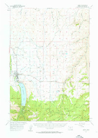
Other maps of this area

1901 · Baker City
USGS Topo · 1:125,000

1906 · Telocaset
USGS Topo · 1:125,000

1915 · Pine
USGS Topo · 1:125,000
1954 · Cornucopia
USGS Topo · 1:62,500

1954 · Eagle Cap
USGS Topo · 1:62,500

1955 · Baker
USGS Topo · 1:250,000

1955 · Grangeville
USGS Topo · 1:250,000
1957 · Enterprise
USGS Topo · 1:62,500
1957 · Joseph
USGS Topo · 1:62,500
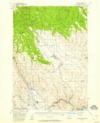
1957 · Halfway
USGS Topo · 1:62,500