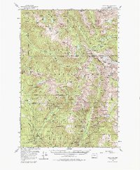
1954 Map of Eagle Cap
USGS Topo · Published 1980About this map
Sacajawea Peak and the Matterhorn dominate the high-elevation landscape of the Wallowa National Forest during the mid-1950s. This survey focuses on the heart of the Eagle Cap Wilderness Area, where glacial lakes like Minam Lake and Crater Lake are interspersed with sharp granite peaks. The map reveals the infrastructure of early backcountry management and recreation, from the Two Color Guard Station to seasonal hubs such as River Head Camp and Boulder Park Resort.
Find a feature on this map
143 named features on this map. Tap any name to fly to it.
Don’t see what you’re looking for? This feature index may not catch every label — zoom into the map to look around manually.
Map Details
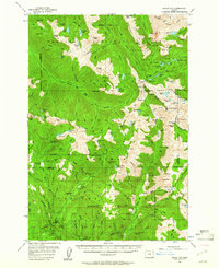
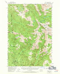
Editions of this 1954 Eagle Cap Map
4 editions found
Other maps of this area

1901 · Baker City
USGS Topo · 1:125,000

1906 · Telocaset
USGS Topo · 1:125,000

1915 · Pine
USGS Topo · 1:125,000

1954 · Cornucopia
USGS Topo · 1:62,500

1954 · Eagle Cap
USGS Topo · 1:62,500

1955 · Baker
USGS Topo · 1:250,000

1955 · Grangeville
USGS Topo · 1:250,000

1957 · Enterprise
USGS Topo · 1:62,500

1957 · Joseph
USGS Topo · 1:62,500

1957 · Halfway
USGS Topo · 1:62,500