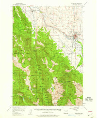
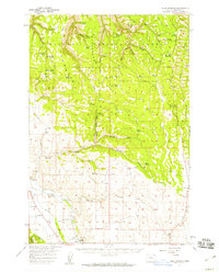
1957 Map of Enterprise
USGS Topo · Published 1958About this map
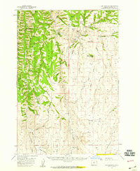
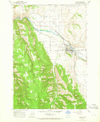
The Wallowa Mountains rise sharply above the high desert plateaus of eastern Oregon in this late-1950s record of the region. The city of Enterprise and the town of Lostine anchor the agricultural and timber economy, connected by the Union Pacific railroad and a network of irrigation ditches that line the Alder Slope. Significant local landmarks include the Chief Joseph Monument and the Hurricane Grange, while the Fish Hatchery near the Wallowa River points to the area's long-standing natural resource management.
Find a feature on this map
100 named features on this map. Tap any name to fly to it.
Don’t see what you’re looking for? This feature index may not catch every label — zoom into the map to look around manually.
Map Details
Editions of this 1957 Enterprise Map
2 editions found
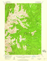
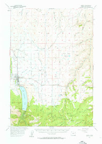
Other maps of this area

1906 · Telocaset
USGS Topo · 1:125,000
1954 · Cornucopia
USGS Topo · 1:62,500

1954 · Eagle Cap
USGS Topo · 1:62,500

1955 · Grangeville
USGS Topo · 1:250,000
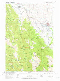
1957 · Enterprise
USGS Topo · 1:62,500
1957 · Joseph
USGS Topo · 1:62,500
1957 · Sled Springs
USGS Topo · 1:62,500
1957 · Elk Mountain
USGS Topo · 1:62,500

1959 · Grangeville
USGS Topo · 1:250,000
1964 · Wallowa
USGS Topo · 1:24,000