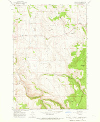
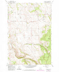
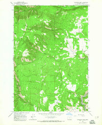
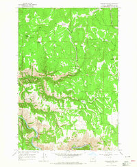
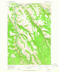
1964 Map of Cricket Flat
USGS Topo · Published 1966About this map
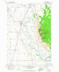
Cricket Flat defines the high plateau of this eastern Oregon landscape in the mid-1960s, where the rural community is anchored by the Cricket Flat Grange Hall. The topography is marked by significant elevation changes, from the heights of Minam Summit down into the depths of Rysdam Canyon. The mapping reveals a pastoral and forest-service infrastructure, with numerous springs and wells providing water for the upland terrain.
Find a feature on this map
21 named features on this map. Tap any name to fly to it.
Don’t see what you’re looking for? This feature index may not catch every label — zoom into the map to look around manually.
Map Details
Editions of this 1964 Cricket Flat Map
2 editions found
Other maps of this area

1906 · Telocaset
USGS Topo · 1:125,000

1955 · Grangeville
USGS Topo · 1:250,000

1959 · Grangeville
USGS Topo · 1:250,000
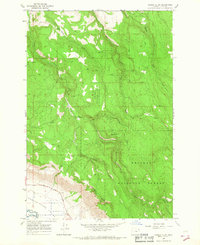
1964 · Partridge Creek
USGS Topo · 1:24,000
1964 · Howard Butte
USGS Topo · 1:24,000
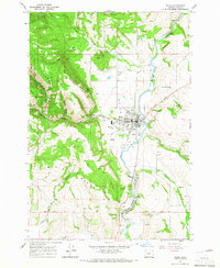
1964 · Minam
USGS Topo · 1:24,000
1964 · Elgin
USGS Topo · 1:24,000
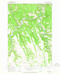
1964 · Rondowa
USGS Topo · 1:24,000
1965 · Gasset Bluff
USGS Topo · 1:24,000
1965 · Imbler
USGS Topo · 1:24,000