
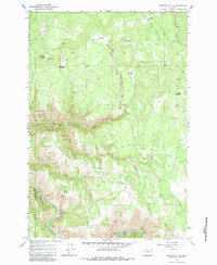
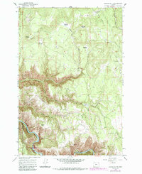
1964 Map of Howard Butte
USGS Topo · Published 1965About this map
Wallowa National Forest land dominates this 1960s landscape, defined by high ridges and a series of meadows named for early settlers. Howard Butte stands as a primary landmark in the northwest corner, equipped with a Lookout Tower for fire observation across the densely wooded terrain. The drainage of Howard Creek and its tributaries carve deep into the plateau, leading toward the Wallowa River and Pacific River at the southern edge of the quadrangle.
Find a feature on this map
29 named features on this map. Tap any name to fly to it.
Don’t see what you’re looking for? This feature index may not catch every label — zoom into the map to look around manually.
Map Details
Editions of this 1964 Howard Butte Map
3 editions found
Other maps of this area

1955 · Grangeville
USGS Topo · 1:250,000

1959 · Grangeville
USGS Topo · 1:250,000

1964 · Akers Butte
USGS Topo · 1:24,000

1964 · Cricket Flat
USGS Topo · 1:24,000

1964 · Wallowa
USGS Topo · 1:24,000

1964 · Minam
USGS Topo · 1:24,000

1964 · Rondowa
USGS Topo · 1:24,000

1967 · Fry Meadow
USGS Topo · 1:24,000

1967 · Promise
USGS Topo · 1:24,000
1967 · Deep Creek
USGS Topo · 1:24,000