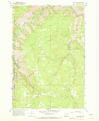
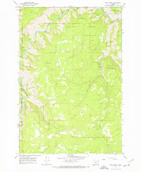
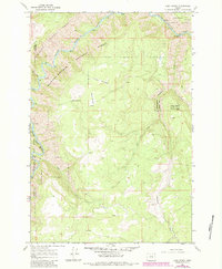
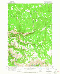
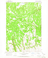
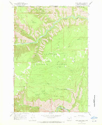
1967 Map of Deep Creek
USGS Topo · Published 1971About this map
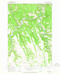
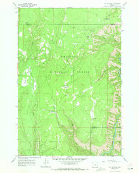
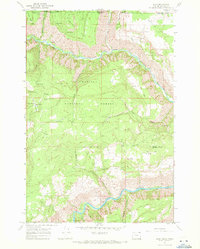
The Grande Ronde River carves a significant path through this corner of Northeast Oregon, where the boundaries of Umatilla National Forest and Wallowa National Forest meet. The landscape is defined by its dramatic drainage systems, with Deep Creek and East Grossman Creek feeding into the larger river valley. Movement through this high-country terrain was primarily facilitated by a network of Jeep Trails that skirt the higher elevations and meadows.
Find a feature on this map
14 named features on this map. Tap any name to fly to it.
Don’t see what you’re looking for? This feature index may not catch every label — zoom into the map to look around manually.
Map Details
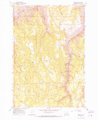
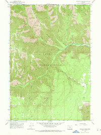
Editions of this 1967 Deep Creek Map
3 editions found
Other maps of this area

1955 · Grangeville
USGS Topo · 1:250,000

1959 · Grangeville
USGS Topo · 1:250,000
1964 · Howard Butte
USGS Topo · 1:24,000
1964 · Akers Butte
USGS Topo · 1:24,000
1964 · Rondowa
USGS Topo · 1:24,000
1967 · Fry Meadow
USGS Topo · 1:24,000
1967 · Eden
USGS Topo · 1:24,000
1967 · Elbow Creek
USGS Topo · 1:24,000
1967 · Promise
USGS Topo · 1:24,000
1967 · Wenaha Forks
USGS Topo · 1:24,000