
1967 Map of Fry Meadow
USGS Topo · Published 1971About this map
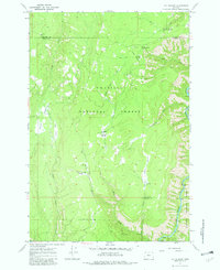
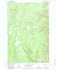
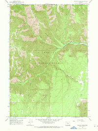
The Grande Ronde River carves through the southeastern corner of this landscape, marking a stark elevation change where the river canyon meets the high timberlands of the Umatilla National Forest and Wallowa National Forest. In the late 1960s, this area served as a functional hub for forest management and seasonal livestock grazing, evidenced by the Fry Meadow Guard Sta and the Jaussaud Corral located in the northwest.
Find a feature on this map
24 named features on this map. Tap any name to fly to it.
Don’t see what you’re looking for? This feature index may not catch every label — zoom into the map to look around manually.
Map Details
Editions of this 1967 Fry Meadow Map
3 editions found
Other maps of this area

1955 · Grangeville
USGS Topo · 1:250,000

1959 · Grangeville
USGS Topo · 1:250,000

1964 · Partridge Creek
USGS Topo · 1:24,000

1964 · Howard Butte
USGS Topo · 1:24,000

1964 · Rondowa
USGS Topo · 1:24,000

1967 · Elbow Creek
USGS Topo · 1:24,000
1967 · Bone Spring
USGS Topo · 1:24,000
1967 · Deep Creek
USGS Topo · 1:24,000
1967 · Wenaha Forks
USGS Topo · 1:24,000
1967 · Jubilee Lake
USGS Topo · 1:24,000