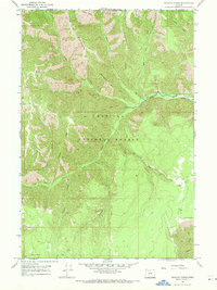
1967 Map of Wenaha Forks
USGS Topo · Published 1971About this map
Sawtooth Ridge and Beaver Ridge define the vertical relief of this 1960s survey within the Umatilla National Forest. The landscape is characterized by deep drainage systems, including the North Fork and South Fork which converge near the eponymous Wenaha Forks to form the Wenaha River. This area on the Washington and Oregon border reveals a primitive transportation network of pack trails and jeep trails rather than established roads, illustrating the isolation of this corner of Wallowa County.
Find a feature on this map
24 named features on this map. Tap any name to fly to it.
Don’t see what you’re looking for? This feature index may not catch every label — zoom into the map to look around manually.
Map Details
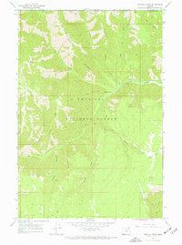
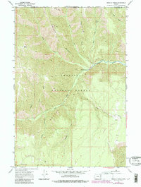
Editions of this 1967 Wenaha Forks Map
3 editions found
Other maps of this area

1937 · Pomeroy
USGS Topo · 1:96,000

1942 · Pomeroy
USGS Topo · 1:125,000

1955 · Pullman
USGS Topo · 1:250,000

1955 · Grangeville
USGS Topo · 1:250,000

1958 · Pullman
USGS Topo · 1:250,000

1959 · Grangeville
USGS Topo · 1:250,000

1967 · Fry Meadow
USGS Topo · 1:24,000

1967 · Elbow Creek
USGS Topo · 1:24,000
1967 · Bone Spring
USGS Topo · 1:24,000

1967 · Oregon Butte
USGS Topo · 1:24,000