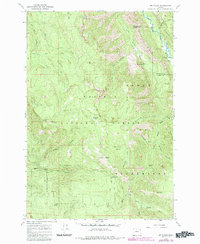
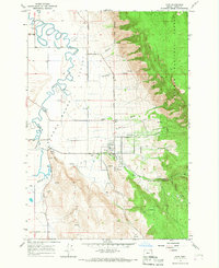
1965 Map of Mt. Fanny
USGS Topo · Published 1985About this map
Wallowa-Whitman National Forest dominates this mid-1960s survey, showing a landscape defined by its network of watersheds and steep ridges. The terrain transitions from the high peaks of Mt Fanny and Point Prominence down into the deep drainages of the Minam River and Little Minam River. The map illustrates the balance between recreation and utility in the region, with remote outposts like Minam Lodge and the Rede Horse Ranch situated along the riverbanks, while the Eagle Cap Wilderness protects the southern reaches.
Find a feature on this map
51 named features on this map. Tap any name to fly to it.
Don’t see what you’re looking for? This feature index may not catch every label — zoom into the map to look around manually.
Map Details
Editions of this 1965 Mt. Fanny Map
This is the sole edition of this map. No revisions or reprints were ever made.
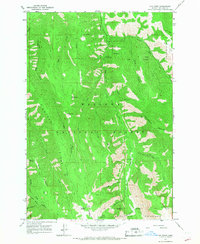
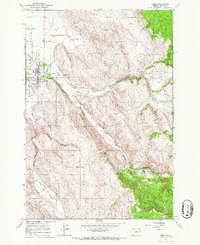
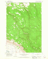
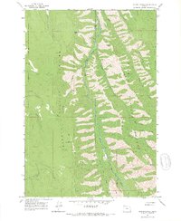
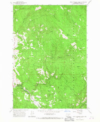
Other maps of this area

1906 · Telocaset
USGS Topo · 1:125,000

1955 · Grangeville
USGS Topo · 1:250,000

1959 · Grangeville
USGS Topo · 1:250,000
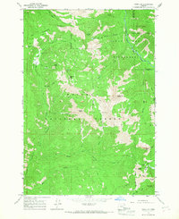
1965 · China Cap
USGS Topo · 1:24,000
1965 · Fox Point
USGS Topo · 1:24,000
1965 · Union
USGS Topo · 1:24,000
1965 · Cove
USGS Topo · 1:24,000
1965 · Gasset Bluff
USGS Topo · 1:24,000
1965 · Mount Moriah
USGS Topo · 1:24,000
1965 · Little Catherine Creek
USGS Topo · 1:24,000