
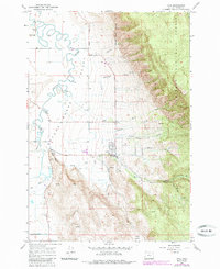
1965 Map of Cove
USGS Topo · Published 1967About this map
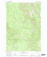
The town of Cove sits at the base of the mountains where the Grande Ronde Valley meets the Whitman National Forest. This mid-1960s survey reveals a landscape defined by the transition from high-altitude timber to irrigated agriculture. Numerous watercourses, including the meandering Grande Ronde River and Catherine Creek, feed the valley floor, supporting a network of rural routes like Booth Lane and Lower Cove Road. Local civic life is anchored by the Grange Hall and the High School, while the settlement of Shanghai to the north retains its own identity with the Shanghai Sch. The presence of several family-named landmarks like Duncan and Eckesley suggests long-standing homesteads. Notable infrastructure includes an Aqueduct and a remote Landing Strip, reflecting the specialized needs of this isolated agricultural and forestry hub.
Find a feature on this map
34 named features on this map. Tap any name to fly to it.
Don’t see what you’re looking for? This feature index may not catch every label — zoom into the map to look around manually.
Map Details
Editions of this 1965 Cove Map
2 editions found
Other maps of this area

1906 · Telocaset
USGS Topo · 1:125,000

1955 · Grangeville
USGS Topo · 1:250,000

1959 · Grangeville
USGS Topo · 1:250,000

1965 · Conley
USGS Topo · 1:24,000

1965 · Union
USGS Topo · 1:24,000
1965 · Gasset Bluff
USGS Topo · 1:24,000
1965 · Imbler
USGS Topo · 1:24,000
1965 · Mount Moriah
USGS Topo · 1:24,000

1965 · Little Catherine Creek
USGS Topo · 1:24,000
1965 · Mt. Fanny
USGS Topo · 1:24,000