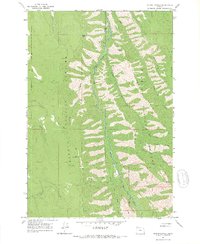
1965 Map of Mount Moriah
USGS Topo · Published 1967About this map
Mount Moriah rises as the central landmark of this mid-1960s topographic study, situated along the boundary of Union Co Wallowa Co. The landscape is dominated by the steep drainages of the Minam River and the Little Minam River, which carve through the dense woodlands of the Whitman National Forest and Wallowa National Forest. This map captures a wilderness area defined by its reliance on a Pack Trail and Jeep Trail network rather than developed roads, reflecting the primitive access typical of the region's interior during this era. High-altitude features like Monument Point, Elk Point, and Mahogany Ridge define the vertical relief, while isolated water sources such as Chicken Spring and Rock Spring provide critical points of reference for forest navigation. The presence of Horse Meadow and Horse Basin Creek suggests the historical use of these uplands for seasonal grazing and packing.
Find a feature on this map
36 named features on this map. Tap any name to fly to it.
Don’t see what you’re looking for? This feature index may not catch every label — zoom into the map to look around manually.
Map Details
Editions of this 1965 Mount Moriah Map
2 editions found
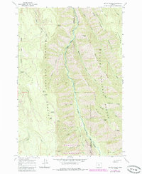
Other maps of this area

1906 · Telocaset
USGS Topo · 1:125,000

1955 · Grangeville
USGS Topo · 1:250,000

1959 · Grangeville
USGS Topo · 1:250,000

1964 · Cricket Flat
USGS Topo · 1:24,000

1964 · Wallowa
USGS Topo · 1:24,000

1964 · Minam
USGS Topo · 1:24,000

1965 · Fox Point
USGS Topo · 1:24,000

1965 · Cove
USGS Topo · 1:24,000
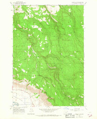
1965 · Gasset Bluff
USGS Topo · 1:24,000
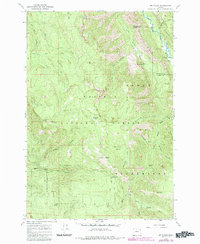
1965 · Mt. Fanny
USGS Topo · 1:24,000