1965 Map of Union
USGS Topo · Published 1967About this map
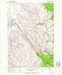
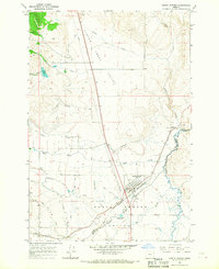
Union serves as the focal point of this mid-1960s survey, situated where the Grande Ronde Valley meets the rising slopes of the Wallowa foothills. The town is depicted with its grid system intact, featuring the Eastern Oregon Livestock Exposition Grounds, a local High Sch, and the town Cem. The industrial and transportation backbone of the era is evident through the Union Pacific rail line and the presence of several Gravel Pits along the valley floor.
Find a feature on this map
23 named features on this map. Tap any name to fly to it.
Don’t see what you’re looking for? This feature index may not catch every label — zoom into the map to look around manually.
Map Details
Editions of this 1965 Union Map
This is the sole edition of this map. No revisions or reprints were ever made.
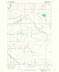
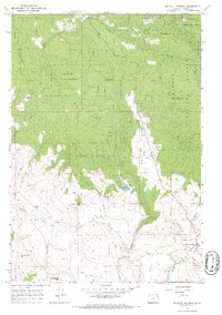
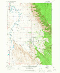
Other maps of this area

1906 · Telocaset
USGS Topo · 1:125,000

1955 · Grangeville
USGS Topo · 1:250,000

1959 · Grangeville
USGS Topo · 1:250,000
1965 · Conley
USGS Topo · 1:24,000
1965 · Medical Springs
USGS Topo · 1:24,000
1965 · Cove
USGS Topo · 1:24,000
1965 · North Powder
USGS Topo · 1:24,000
1965 · Little Catherine Creek
USGS Topo · 1:24,000
1965 · Telocaset
USGS Topo · 1:24,000
1965 · Mt. Fanny
USGS Topo · 1:24,000