
1965 Map of Little Catherine Creek
USGS Topo · Published 1967About this map
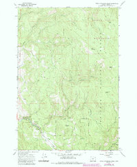
Little Catherine Creek and the surrounding wilderness of the Wallowa-Whitman National Forest dominate this mid-century topographic record. The landscape is defined by its recreation and forestry infrastructure, notably around Catherine Creek State Park where visitors found a dedicated Picnic Area and the Catherine Creek Campground. Higher elevations are marked by distinctive peaks like Bald Mountain and South Baldy, while localized landmarks such as the Ice Cave and Billy Small Meadow provide specific points of interest for those navigating the backcountry.
Find a feature on this map
25 named features on this map. Tap any name to fly to it.
Don’t see what you’re looking for? This feature index may not catch every label — zoom into the map to look around manually.
Map Details
Editions of this 1965 Little Catherine Creek Map
2 editions found
Other maps of this area

1906 · Telocaset
USGS Topo · 1:125,000

1955 · Grangeville
USGS Topo · 1:250,000

1959 · Grangeville
USGS Topo · 1:250,000

1965 · China Cap
USGS Topo · 1:24,000

1965 · Flagstaff Butte
USGS Topo · 1:24,000

1965 · Union
USGS Topo · 1:24,000

1965 · Medical Springs
USGS Topo · 1:24,000

1965 · Cove
USGS Topo · 1:24,000
1965 · Telocaset
USGS Topo · 1:24,000
1965 · Mt. Fanny
USGS Topo · 1:24,000