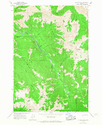
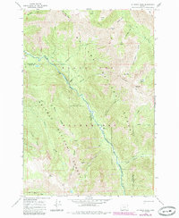
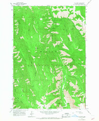
1966 Map of Jim White Ridge
USGS Topo · Published 1967About this map
Jim White Ridge divides the drainage systems of the Wallowa River and Minam River within the high backcountry of the Wallowa Whitman National Forest. This 1960s survey illustrates a landscape defined by its network of pack trails and seasonal water sources, long before modern road development reached these elevations. The map reveals the intricate alpine geography of the Eagle Cap Wilderness, where numerous basins such as Miner Basin and Corral Basin are tucked beneath peaks like Bald Mtn and Goat Mtn.
Find a feature on this map
35 named features on this map. Tap any name to fly to it.
Don’t see what you’re looking for? This feature index may not catch every label — zoom into the map to look around manually.
Map Details
Editions of this 1966 Jim White Ridge Map
2 editions found
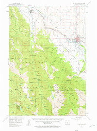
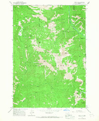
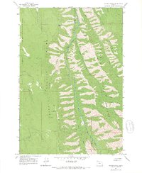
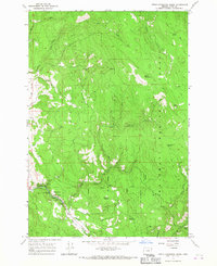
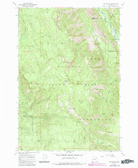
Other maps of this area

1906 · Telocaset
USGS Topo · 1:125,000

1954 · Eagle Cap
USGS Topo · 1:62,500

1955 · Grangeville
USGS Topo · 1:250,000
1957 · Enterprise
USGS Topo · 1:62,500

1959 · Grangeville
USGS Topo · 1:250,000
1965 · China Cap
USGS Topo · 1:24,000
1965 · Fox Point
USGS Topo · 1:24,000
1965 · Mount Moriah
USGS Topo · 1:24,000
1965 · Little Catherine Creek
USGS Topo · 1:24,000
1965 · Mt. Fanny
USGS Topo · 1:24,000