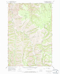
1967 Map of Table Mountain
USGS Topo · Published 1972About this map
Wallowa National Forest serves as the backdrop for this 1960s survey, dominated by the high plateau of Table Mountain and the steep drainages that feed into Joseph Creek. The landscape is a network of named springs and narrow canyons, including Table Mountain Spr, Wilder Spring, and Milk Spring, which suggest the critical importance of water sources in this high-country environment. Historical infrastructure for forest management is evident at the Kirkland Lookout Tower and Kirkland Campground, while the inclusion of the Pack Trail system and Jeep Trail routes highlights the era's primary methods for traversing the complex terrain. Geological and navigational landmarks such as Haystack Rock and Starvation Ridge provide a sense of the varied topography that defined land use and travel in this portion of Wallowa County.
Find a feature on this map
44 named features on this map. Tap any name to fly to it.
Don’t see what you’re looking for? This feature index may not catch every label — zoom into the map to look around manually.
Map Details
Editions of this 1967 Table Mountain Map
2 editions found
Other maps of this area

1955 · Grangeville
USGS Topo · 1:250,000

1957 · Sled Springs
USGS Topo · 1:62,500

1957 · Elk Mountain
USGS Topo · 1:62,500

1959 · Grangeville
USGS Topo · 1:250,000
1967 · Table Mountain
USGS Topo · 1:24,000
1967 · Billy Meadows
USGS Topo · 1:24,000
1967 · Shamrock Creek
USGS Topo · 1:24,000
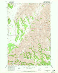
1967 · Paradise
USGS Topo · 1:24,000
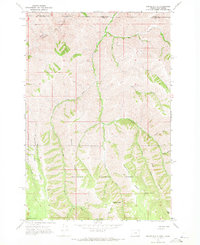
1967 · Teepee Butte
USGS Topo · 1:24,000
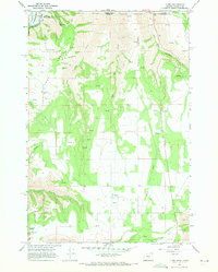
1967 · Flora
USGS Topo · 1:24,000