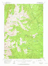
1954 Map of Cornucopia
USGS Topo · Published 1961About this map
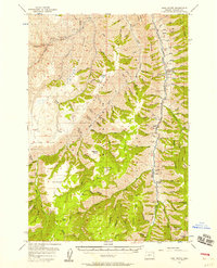
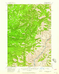
Cornucopia stands as a significant focal point in this 1954 survey, located at the southern edge of the high mountains where mining and alpine wilderness converge. The landscape is dominated by the industrial traces of the Cornucopia Mines and the associated Queen Mine Tramway, reflecting the area's rich mineral history. These features are positioned near Cornucopia Peak and Granite Mtn, marking a transition from extraction to the protected heights of the Wallowa Mountain Sheep Refuge and the Eagle Cap Wilderness Area.
Find a feature on this map
100 named features on this map. Tap any name to fly to it.
Don’t see what you’re looking for? This feature index may not catch every label — zoom into the map to look around manually.
Map Details
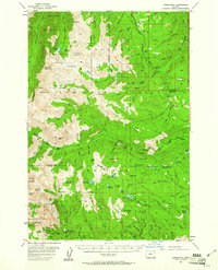
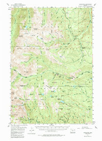
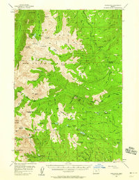
Editions of this 1954 Cornucopia Map
4 editions found
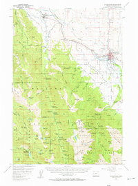
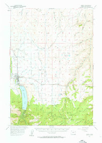
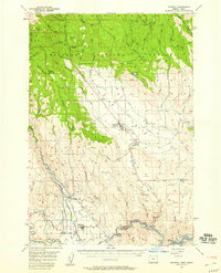
Other maps of this area

1915 · Pine
USGS Topo · 1:125,000
1954 · Cornucopia
USGS Topo · 1:62,500

1954 · Eagle Cap
USGS Topo · 1:62,500
1954 · Harl Butte
USGS Topo · 1:62,500

1955 · Baker
USGS Topo · 1:250,000

1955 · Grangeville
USGS Topo · 1:250,000
1957 · Enterprise
USGS Topo · 1:62,500
1957 · Joseph
USGS Topo · 1:62,500
1957 · Halfway
USGS Topo · 1:62,500
1957 · Homestead
USGS Topo · 1:62,500