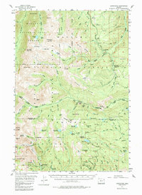
1954 Map of Cornucopia
USGS Topo · Published 1984About this map
Cornucopia Mines and the nearby settlement of Cornucopia anchor the southern reaches of this Wallowa Mountains survey, reflecting the industrial footprint of hard-rock mining in Baker County. A prominent Queen Mine Tramway descends the steep slopes from Pine Lakes, a testament to the complex logistics required to move ore through high-elevation terrain. This era of resource extraction is set against the backdrop of the Wallowa Mountain Sheep Refuge and the Wallowa-Whitman National Forest, where administrative outposts like the Lick Creek Ranger Sta and Trinity Guard Station managed the expanding wilderness protections.
Find a feature on this map
131 named features on this map. Tap any name to fly to it.
Don’t see what you’re looking for? This feature index may not catch every label — zoom into the map to look around manually.
Map Details
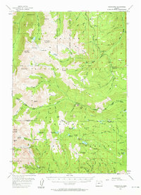
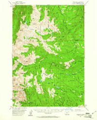
Editions of this 1954 Cornucopia Map
4 editions found
Other maps of this area

1915 · Pine
USGS Topo · 1:125,000

1954 · Cornucopia
USGS Topo · 1:62,500

1954 · Eagle Cap
USGS Topo · 1:62,500

1954 · Harl Butte
USGS Topo · 1:62,500

1955 · Baker
USGS Topo · 1:250,000

1955 · Grangeville
USGS Topo · 1:250,000

1957 · Enterprise
USGS Topo · 1:62,500

1957 · Joseph
USGS Topo · 1:62,500

1957 · Halfway
USGS Topo · 1:62,500

1957 · Homestead
USGS Topo · 1:62,500