2000s (21st Century) Maps of Cannon Beach, Oregon
Explore 10 historic maps of Cannon Beach from the 2000s (21st Century). These maps offer a rare glimpse into what life looked like during the 2000s — showing old roads, neighborhoods, homes, and landmarks that have changed or disappeared over time.
Whether you're researching your family's past, planning a metal detecting trip, or studying how Cannon Beach's landscape evolved across the 2000s, these high-resolution maps are a powerful tool for exploring the history of this region.
- Focus on a specific era: All maps on this page are from the 2000s, giving you a focused view of this time period.
- See what’s changed: Compare century-old streets, trails, and buildings to today's modern landscape using overlays and satellite layers.
- Research with precision: Use these maps for genealogy, historical research, land use analysis, or educational projects.
- View, download, or print: Maps are fully viewable online in high resolution, and can be downloaded or printed for your own records.
Start exploring Cannon Beach's history through authentic maps from the 2000s. This is your window into the past.
Cannon Beach, OR maps
(10)- 2011 Map of Arch Cape, 2011 Print
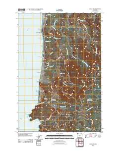 2011 Arch Cape2011 Print · USGSThe Clatsop County coastline is captured here in the early twenty-first century, showing the balance between beachside communities and protected coastal forests. Researchers can trace the residential development of Arch Cape or find landmarks like the Arch Cape Post Office and Smuggler Cove.
 - 2011 Map of Tillamook Head, 2011 Print
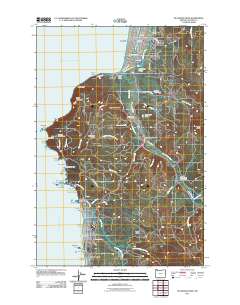 2011 Tillamook Head2011 Print · USGSThe Clatsop County coastline comes into sharp focus during this era of modern development and natural preservation. Researchers can trace property lines and civic landmarks from the Seaside Post Office to Evergreen Cemetery, or explore the wild headlands of Ecola State Park.
 - 2014 Map of Tillamook Head, 2014 Print
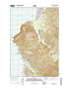 2014 Tillamook Head2014 Print · USGSThe northern Oregon coast at the start of the 2010s shows a landscape defined by resort development and dramatic seafaring geography. Trace the rugged shoreline from Tillamook Head down to the sea stacks of Haystack Rock and the landmark Evergreen Cem.
 - 2014 Map of Arch Cape, 2014 Print
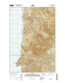 2014 Arch Cape2014 Print · USGSThe northern Oregon coast comes alive in this survey, capturing the dramatic meeting of the Coast Range and the Pacific. Trace the early 21st-century footprint of coastal life from the Arch Cape Tunnel to family-named landmarks like Adair Point and Mason Cr.
 - 2017 Map of Tillamook Head, 2017 Print
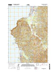 2017 Tillamook Head2017 Print · USGSCoastal Clatsop County is mapped here in the late twenty-tens, showing the established communities of Seaside and Cannon Beach along the Pacific. Researchers can trace land features from the Necanicum River to historical sites like Evergreen Cem and the Skibbereen Bridge.
 - 2017 Map of Arch Cape, 2017 Print
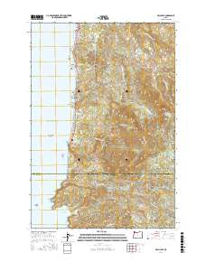 2017 Arch Cape2017 Print · USGSThe Oregon coast at the Clatsop and Tillamook county line features a landscape of dramatic headlands and secluded coves during this recent decade. Researchers can trace the connection between coastal outposts like Arch Cape and Cove Beach and the high interior ridges of Onion Peak and Angora Peak.
 - 2020 Map of Arch Cape, 2020 Print
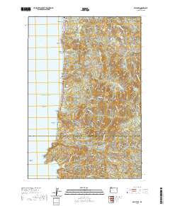 2020 Arch Cape2020 Print · USGSThe Oregon coast at the opening of the 2020s shows a landscape where high peaks meet the Pacific surf near the Clatsop and Tillamook border. Trace the coastal highway through the Arch Cape Tunnel 2247 and identify local landmarks from Silver Point to Cape Falcon.
 - 2020 Map of Tillamook Head, 2020 Print
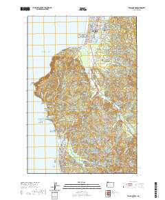 2020 Tillamook Head2020 Print · USGSThe Oregon coast at Seaside and Cannon Beach is shown here in the contemporary era, from the bustling promenade to the heights of Tillamook Head. Researchers can locate Evergreen Cem, the Skibbereen Bridge, and iconic landmarks like Haystack Rock.
 - 2024 Map of Tillamook Head, 2024 Print
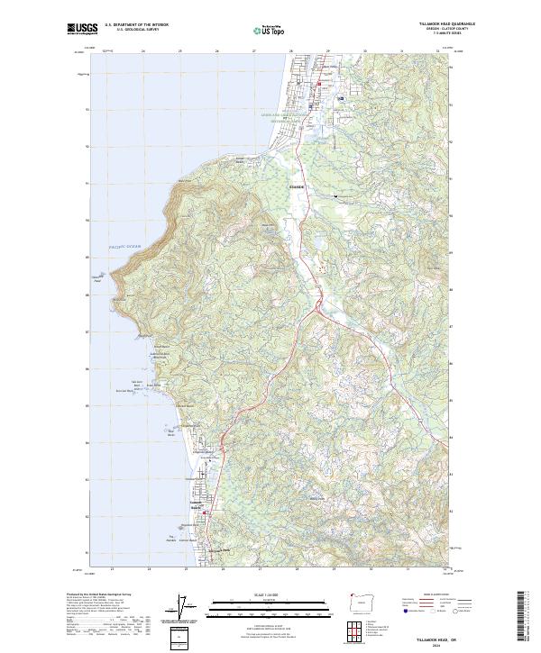 2024 Tillamook Head2024 Print · USGSThe Oregon coast at the onset of the 2020s shows a sophisticated mix of resort communities and protected wilderness. Local historians can trace the paths of Old US Hwy 101 or locate family plots at Evergreen Cem near the banks of Neawanna Creek.
 - 2024 Map of Arch Cape, 2024 Print
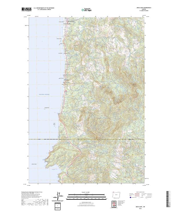 2024 Arch Cape2024 Print · USGSCoastal Oregon settlements and peaks are shown here in the 2020s as the Pacific shoreline meets the mountains. Researchers can trace landforms from Smuggler Cove to Onion Peak, alongside communities like Arch Cape and Cannon Beach.
End of results
Showing maps 1-10 of 10
Top cities near Cannon Beach
- Seaside historical maps
- Gearhart historical maps
- Manzanita historical maps
- Wheeler historical maps
- Nehalem historical maps
Top neighborhoods of Cannon Beach
Frequently asked questions
- What are the different types of historical maps available for Cannon Beach?
- What is the oldest map of Cannon Beach?
- Where can I purchase historical maps of Cannon Beach for my home or office?
- Where can I download high-res historical maps of Cannon Beach?
- Are there historical topographic maps available for Cannon Beach?
- Is there historical aerial imagery available for Cannon Beach?
- Where are historical maps of Cannon Beach sourced from?