Old Maps of Pope Corner, Oregon for Metal Detecting
Plan your next treasure hunt with 15 historic maps of Pope Corner. Find old homesites, ghost towns, trails, and gathering spots that may be lost to time — perfect for identifying promising metal detecting locations.
- Locate forgotten sites: Uncover places like long-lost settlements, abandoned rail lines, or gathering spots.
- Plan better hunts: Use map overlays combined with LiDAR or satellite views to narrow in on historically rich areas.
- Made for detectorists: Thousands of hobbyists use these maps to discover relics, coins, and hidden history.
Use these historic maps to boost your research and find new opportunities beneath the surface of Pope Corner.
Pope Corner, OR maps
(15)- 1939 Map of Saddle Mountain, 1941 Print
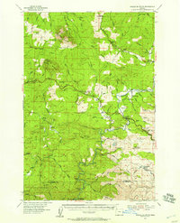
 1939 Saddle Mountain1941 Print · USGSCoastal Oregon at the end of the 1930s is a landscape of dense timber and remote outposts. Genealogists and historians can trace the early road networks connecting Jewell and Elsie, or locate the C C C Camp Jewell and the Lewis and Clark GS deep in the hills.
 - 1943 Map of Saddle Mtn.
 1943 Saddle Mtn.1943 Print · USGSCoastal Oregon timberlands and the upper Nehalem River valley are captured in detail during the early forties. Researchers can trace the development of riverside settlements like Jewell and Tideport, or locate landmarks such as Vinemaple Sch and the Rector Lookout.
 - 1948 Map of Vancouver, 1957 Print
 1948 Vancouver1957 Print · USGSPost-war growth transforms the river valleys of the Pacific Northwest as the timber and rail economy thrives. Trace family roots in Tillamook or Oregon City, and locate vanished landmarks like the spit at Bayocean or the Skamania Mine.
 - 1950 Map of Vancouver
 1950 Vancouver1950 Print · USGSCoastal Oregon and the lower Columbia River valley are captured in detail just after the war. Researchers can trace historic rail routes like the Southern Pacific or locate early settlements such as Vernonia, Gaston, and the Grand Ronde Indian Reservation.
 - 1950 Map of Vancouver, 1951 Print
 1950 Vancouver1951 Print · USGSThe Pacific Northwest urban corridor meets the rugged coast in the years following the war, showing the expansion of Portland and Vancouver. Genealogists and historians can trace the reach of the Southern Pacific RR and locate coastal communities like Tillamook, Seaside, and Tolovana Park.
 - 1955 Map of Saddle Mountain, 1957 Print
 1955 Saddle Mountain1957 Print · USGSIn the mid-1950s, the timber-rich mountains of Clatsop County were defined by the Nehalem River and the expansion of the Sunset Highway. Genealogists and historians can trace old community centers like Jewell and Elsie, or locate the Logging Railroad near Salmonberry River.3 unique versions available
 - 1958 Map of Vancouver, 1968 Print
 1958 Vancouver1968 Print · USGSThe Lower Columbia and Willamette valleys thrive in the late sixties as major rail and river hubs. Genealogists and historians can trace the development of Portland, identify the grounds of Camp Withycombe, and locate coastal landmarks from Tillamook Head to Garibaldi.3 unique versions available
 - 1964 Map of Vancouver
 1964 Vancouver1964 Print · USGSThe Pacific Northwest interior and coast are shown here in the 1960s, from the Portland metropolitan hub to the rugged Pacific shoreline. Researchers can trace the legacy of the Grand Ronde Indian Reservation, the early layout of McMinnville, and the maritime approaches near Tillamook Head.
 - 1979 Map of Nehalem River, 1980 Print
 1979 Nehalem River1980 Print · USGSThe northern Oregon coast and its timber-rich interior are captured here in the late seventies, showing the vital connection between sea and forest. Researchers can trace the rail lines of the Southern Pacific and Burlington Northern through historic logging hubs like Vernonia, Timber, and Nehalem.3 unique versions available
 - 1984 Map of Elsie
 1984 Elsie1984 Print · USGSCoastal Oregon timber country is recorded here in the mid-1980s, centered on the river settlements of the northern Coast Range. Researchers can trace the winding Nehalem River past Elsie and Jewell Junction or locate the historic Camp Olsen (Site) near the Salmonberry River.
 - 2011 Map of Elsie, 2011 Print
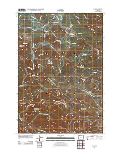 2011 Elsie2011 Print · USGSCovers Pope Corner, including Elsie, Elderberry, and other nearby areas
 - 2014 Map of Elsie, 2014 Print
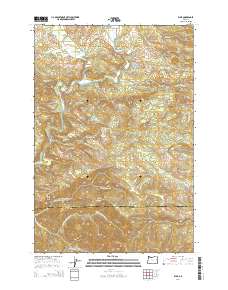 2014 Elsie2014 Print · USGSCovers Pope Corner, including Elsie, Elderberry, and other nearby areas
 - 2017 Map of Elsie, 2017 Print
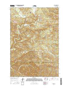 2017 Elsie2017 Print · USGSCovers Pope Corner, including Elsie, Elderberry, and other nearby areas
 - 2020 Map of Elsie, 2020 Print
 2020 Elsie2020 Print · USGSCovers Pope Corner, including Elsie, Elderberry, and other nearby areas
 - 2023 Map of Elsie, 2023 Print
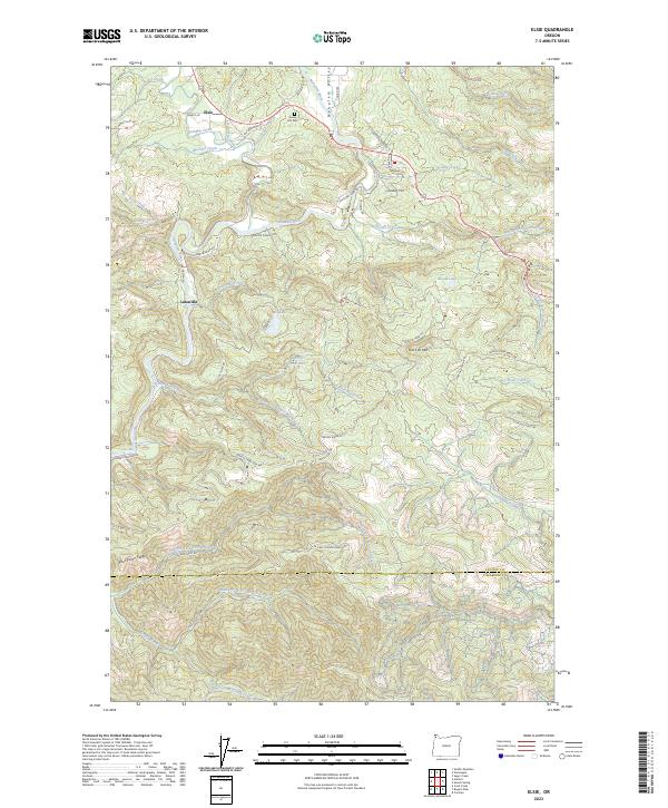 2023 Elsie2023 Print · USGSClatsop and Tillamook counties meet in this modern survey of the timbered Nehalem River valley. Researchers can locate the mountain settlement of Elsie, trace the headwaters of Cronin Creek, and find local landmarks like Sunny Hill Cem and Lukarilla.
End of results
Showing maps 1-15 of 15
Frequently asked questions
- What are the different types of historical maps available for Pope Corner?
- What is the oldest map of Pope Corner?
- Where can I purchase historical maps of Pope Corner for my home or office?
- Where can I download high-res historical maps of Pope Corner?
- Are there historical topographic maps available for Pope Corner?
- Is there historical aerial imagery available for Pope Corner?
- Where are historical maps of Pope Corner sourced from?