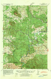
1939 Map of Saddle Mountain
USGS Topo · Published 1941About this map
C C C Camp Jewell sits near the eastern edge of this coastal range landscape, a site of Civilian Conservation Corps activity during the late Depression era. The Nehalem Highway and the developing Wolf Creek Highway provide the primary transit corridors through the heavy timber and high peaks of the Oregon Coast Range, connecting small outposts like Jewell, Elsie, and Hamlet. The terrain is dominated by the prominent peaks of Saddle Mtn and Humbug Mtn, while the North Fork Nehalem River carves a winding path through the southern half of the sheet.
Find a feature on this map
42 named features on this map. Tap any name to fly to it.
Don’t see what you’re looking for? This feature index may not catch every label — zoom into the map to look around manually.
Map Details
Editions of this 1939 Saddle Mountain Map
This is the sole edition of this map. No revisions or reprints were ever made.
Other maps of this area
1919 · Astoria
USGS Topo · 1:62,500
1937 · Nehalem
USGS Topo · 1:62,500
1937 · Enright
USGS Topo · 1:62,500
1939 · Astoria
USGS Topo · 1:62,500
1940 · Svensen
USGS Topo · 1:62,500
1940 · Cape Falcon
USGS Topo · 1:62,500
1941 · Keasey
USGS Topo · 1:62,500
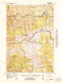
1941 · Timber
USGS Topo · 1:62,500
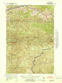
1941 · Enright
USGS Topo · 1:62,500
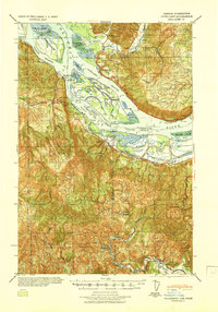
1941 · Cathlamet
USGS Topo · 1:62,500