Old Maps of Templeton, Oregon for Academic Research
Study the evolution of Templeton with 13 high-resolution historic maps. Whether you're teaching, researching, or modeling changes in land use, these maps provide essential visual documentation of urban, environmental, and geographic change.
- Analyze long-term change: Track patterns in development, transportation, and natural features.
- Ideal for environmental or urban studies: Support academic projects with primary historical map data.
- Use in the classroom or lab: Educators and researchers rely on these maps to bring historical context to life.
These maps are a powerful tool for teaching, research, and visualizing how Templeton has changed over the decades.
Templeton, OR maps
(13)- 1923 Map of Reedsport
 1923 Reedsport1923 Print · USGSCoastal Oregon thrives in the 1920s as river commerce and rail lines connect the Umpqua estuary to the interior. Trace the old Southern Pacific line past Gardiner Sta or locate rural landmarks like Umpqua LH and Tenmile School.4 unique versions available
 - 1942 Map of Reedsport
 1942 Reedsport1942 Print · USGSThe Oregon coast at the onset of the 1940s reveals a landscape shaped by the Umpqua River and the Southern Pacific railroad. Genealogists and historians can trace old school sites like Scholfield Sch and find early landmarks including the Umpqua River LH and Lakeside.2 unique versions available
 - 1954 Map of Coos Bay
 1954 Coos Bay1954 Print · USGSCoastal Oregon at mid-century shows a landscape of timber and tides, from the river ports to the edge of the Pacific. Researchers can trace family roots through coastal schools like Beachview School or follow the Southern Pacific RR through Reedsport and Coos Bay.
 - 1956 Map of Reedsport
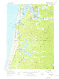 1956 Reedsport1956 Print · USGSCoastal Douglas and Coos counties appear here in the mid-fifties, centered on the bustling river-and-rail hub of Reedsport. Researchers can trace the waterfront legacy of Gardiner, locate the North Bend Air Force Station, or explore the lakeside landings at Lakeside and Shutter Landing.3 unique versions available
 - 1958 Map of Coos Bay, 1974 Print
 1958 Coos Bay1974 Print · USGSThe Southern Oregon coastline at mid-century reveals a bustling maritime and timber economy centered on Coos Bay and North Bend. Researchers can trace the legacy of coastal settlements from Bandon to Brookings, including rail lines of the Southern Pacific RR and the rugged reaches of the Siuslaw National Forest.
 - 1962 Map of Coos Bay
 1962 Coos Bay1962 Print · USGSThe Oregon coast at the end of the fifties reveals a landscape of timber ports and fishing villages connected by U.S. Highway 101. Researchers can trace the rail infrastructure of the Southern Pacific RR and locate early settlements from Florence down to Brookings.2 unique versions available
 - 1980 Map of Reedsport, 1987 Print
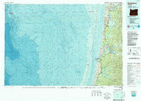 1980 Reedsport1987 Print · USGSThe Oregon coast at the dawn of the 1980s reveals a landscape defined by timber, tourism, and the shifting sands of the Oregon Dunes. Local historians can trace the rail-and-river economy through Reedsport, the historic timber town of Gardiner, and the lakeside community of Lakeside.
 - 1985 Map of Trail Butte
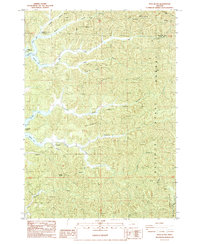 1985 Trail Butte1985 Print · USGSThe coastal hills of Coos and Douglas counties are mapped here in the mid-1980s, showcasing the dense timberlands and lake systems. Researchers can trace the fingers of North Tenmile Lake and locate old sites like Camp Easter Seal and the Hatchery.
 - 2011 Map of Trail Butte, 2011 Print
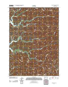 2011 Trail Butte2011 Print · USGSCoastal Oregon forestlands and small settlements are documented here in the early twenty-first century. Genealogists and local historians can locate the Templeton Cemetery and trace the paths of Palouse Creek and Johnson Creek.
 - 2014 Map of Trail Butte, 2014 Print
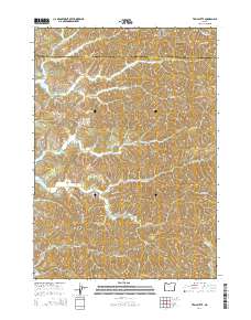 2014 Trail Butte2014 Print · USGSCoastal Oregon ridges and freshwater lakes define the Templeton area in this recent study of the Coos-Douglas county line. Genealogists and local historians can locate the Templeton Cemetery and trace the many drainages between Tenmile Butte and Twin Sisters.
 - 2017 Map of Trail Butte, 2017 Print
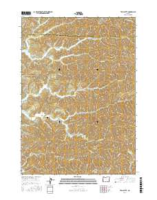 2017 Trail Butte2017 Print · USGSThe intricate shoreline of Coos County's lake country is preserved here in the late twenty-teens. Genealogists and local historians can locate the Templeton Cemetery and trace the many arms of Tenmile Lake, such as Carlson Arm and Templeton Arm.
 - 2020 Map of Trail Butte, 2020 Print
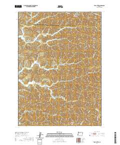 2020 Trail Butte2020 Print · USGSCoastal Oregon hill country and the intricate arms of the Tenmile lakes are shown here in the 2020s. Genealogists and local historians can trace the settlement at Templeton, the Templeton Cemetery, and landmarks like Tenmile Butte and Twin Sisters.
 - 2024 Map of Trail Butte, 2024 Print
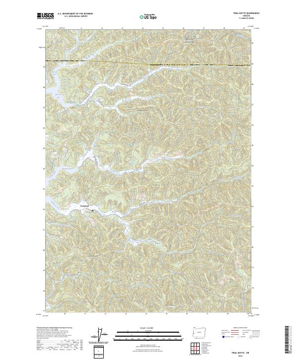 2024 Trail Butte2024 Print · USGSIn the Coos County backcountry during the early 2020s, this area centers on the branching waters of Tenmile Lake and the settlement of Templeton. Researchers can trace the Templeton Cem and local routes like Dean Mountain Road or Potato Bottom Road.
End of results
Showing maps 1-13 of 13
Top cities near Templeton
- Coos Bay historical maps
- North Bend historical maps
- Reedsport historical maps
- Barview historical maps
- Lakeside historical maps
Frequently asked questions
- What are the different types of historical maps available for Templeton?
- What is the oldest map of Templeton?
- Where can I purchase historical maps of Templeton for my home or office?
- Where can I download high-res historical maps of Templeton?
- Are there historical topographic maps available for Templeton?
- Is there historical aerial imagery available for Templeton?
- Where are historical maps of Templeton sourced from?