Old Maps of Sisters, Oregon for Academic Research
Study the evolution of Sisters with 13 high-resolution historic maps. Whether you're teaching, researching, or modeling changes in land use, these maps provide essential visual documentation of urban, environmental, and geographic change.
- Analyze long-term change: Track patterns in development, transportation, and natural features.
- Ideal for environmental or urban studies: Support academic projects with primary historical map data.
- Use in the classroom or lab: Educators and researchers rely on these maps to bring historical context to life.
These maps are a powerful tool for teaching, research, and visualizing how Sisters has changed over the decades.
Sisters, OR maps
(13)- 1929 Map of Three Sisters, 1956 Print
 1929 Three Sisters1956 Print · USGSThe High Cascades meet the Deschutes plateau in the late 1920s, a time when fire lookouts and cow camps dotted the volcanic peaks. Genealogists and historians can trace the early footprints of Sisters, Camp Sherman, and the historic Old Toll Station.2 unique versions available
 - 1932 Map of Three Sisters
 1932 Three Sisters1932 Print · USGSThe eastern Cascades and the high desert meet in the early 1930s as the regional highway system begins to pierce the mountains. Genealogists and historians can trace early settlements like Camp Polk and Sisters or locate old forest landmarks such as Camp Sherman and Black Butte.3 unique versions available
 - 1955 Map of Bend, 1964 Print
 1955 Bend1964 Print · USGSCentral Oregon was undergoing significant growth in the mid-1960s as irrigation and infrastructure transformed the high desert. Researchers can trace the path of the Oregon Trunk Line, locate old stops like Gateway, and find landmarks like Lava Butte or the Grange.3 unique versions available
 - 1957 Map of Bend
 1957 Bend1957 Print · USGSCentral Oregon in the mid-fifties is a landscape of transition between the high Cascades and the arid volcanic plateau. Local historians can trace the rail corridors of the Oregon Trunk and locate early settlements like Ashwood, Odin Falls, and Camp Sherman.
 - 1958 Map of Bend
 1958 Bend1958 Print · USGSCentral Oregon in the late fifties was a land of high desert ranching and growing mountain towns. Researchers can trace the rail lines of the Oregon Trunk Railroad, find established settlements like Madras and Sisters, or locate landmarks such as Smith Rock and Lava Butte.
 - 1959 Map of Sisters, 1961 Print
 1959 Sisters1961 Print · USGSThe high-desert ranching and logging country around Sisters is captured here in the late fifties, just as recreational forest use was expanding. Researchers can trace historic routes like the Santiam Wagon Road, find the Black Butte Sch, or locate family sites at the Sisters Cem and Black Butte Ranch.2 unique versions available
 - 1980 Map of Bend, 1993 Print
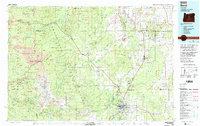 1980 Bend1993 Print · USGSCentral Oregon was evolving rapidly in the early eighties as outdoor recreation and transit hubs like Bend and Redmond expanded. Trace the historical footprints of Sisters, the Metolius River basin, and the Oregon Trunk Railway through the high desert.2 unique versions available
 - 1988 Map of Sisters
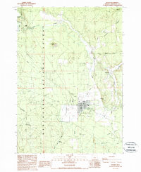 1988 Sisters1988 Print · USGSThe high desert settlement of Sisters and the Deschutes National Forest are captured here in the late eighties. Researchers can trace the path of the Santiam Wagon Road or locate local landmarks like Camp Polk and the Sisters Cow Camp.
 - 2011 Map of Sisters, 2011 Print
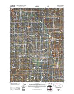 2011 Sisters2011 Print · USGSSisters and its surrounding high-desert landscape are captured here in the early twenty-first century as the town expanded into the foothills. Researchers can trace local history at Sisters Cemetery or locate old sites like Camp Polk and the Sisters Post Office.
 - 2014 Map of Sisters, 2014 Print
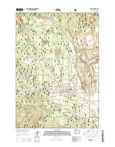 2014 Sisters2014 Print · USGSThe community of Sisters and its surrounding high desert landscape are captured in the mid-2010s as it transitioned into a modern gateway for the Cascades. Genealogists and local historians can trace the Sisters Cem, the irrigation paths of Smith Ditch, and landmarks like McKinney Butte.
 - 2017 Map of Sisters, 2017 Print
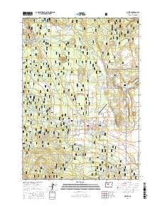 2017 Sisters2017 Print · USGSSisters and the eastern edge of the Cascades are captured here in a moment of continued growth and mountain recreation. Genealogists and historians can trace family markers at Sisters Cem or follow the early paths of the Old Wagon Rd and Old Military Dr.
 - 2020 Map of Sisters, 2020 Print
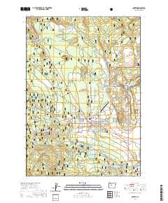 2020 Sisters2020 Print · USGSSisters sits at the edge of the high desert and the Cascades in this modern era, where forest management and town growth intersect. Local researchers can trace old routes like Old Military Dr, locate the Sisters Cem, or study landmarks like Sisters Eagle Air.
 - 2023 Map of Sisters, 2023 Print
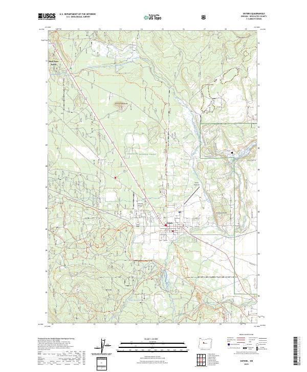 2023 Sisters2023 Print · USGSSisters and the surrounding Deschutes National Forest are captured in the early 2020s as the area continues its evolution into a major recreation hub. Trace local history at the Sisters Cem or follow historical routes like Old Military Dr and the Metolius-Windigo Trl.
End of results
Showing maps 1-13 of 13
Top cities near Sisters
Frequently asked questions
- What are the different types of historical maps available for Sisters?
- What is the oldest map of Sisters?
- Where can I purchase historical maps of Sisters for my home or office?
- Where can I download high-res historical maps of Sisters?
- Are there historical topographic maps available for Sisters?
- Is there historical aerial imagery available for Sisters?
- Where are historical maps of Sisters sourced from?