Old Maps of Galena, Oregon for Academic Research
Study the evolution of Galena with 11 high-resolution historic maps. Whether you're teaching, researching, or modeling changes in land use, these maps provide essential visual documentation of urban, environmental, and geographic change.
- Analyze long-term change: Track patterns in development, transportation, and natural features.
- Ideal for environmental or urban studies: Support academic projects with primary historical map data.
- Use in the classroom or lab: Educators and researchers rely on these maps to bring historical context to life.
These maps are a powerful tool for teaching, research, and visualizing how Galena has changed over the decades.
Galena, OR maps
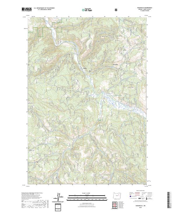
(11)- 1949 Map of Susanville, 1966 Print
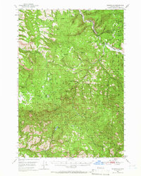 1949 Susanville1966 Print · USGSGrant County’s high country is captured here during the post-war era, showing the intersection of the Malheur National Forest and Whitman National Forest. Local historians can trace early wilderness infrastructure at Galena, the Hi Yu Guard Station, and isolated sites like Hamburger Cabin.
 - 1951 Map of Susanville
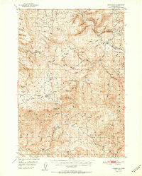 1951 Susanville1951 Print · USGSThe Middle Fork of the John Day River corridor is shown here in the mid-twentieth century, at the meeting of two national forests. Genealogists and researchers can trace the roads and trails connecting Susanville, Galena, and the remote HiYu Guard Station.2 unique versions available
 - 1955 Map of Canyon City, 1966 Print
 1955 Canyon City1966 Print · USGSCentral Oregon's high desert and timber country are captured here in the mid-fifties, showing the rugged ranching and logging landscape. Trace the path of the Sumpter Valley Ry or locate remote settlements like Izee, Whitney, and Ritter.4 unique versions available
 - 1959 Map of Canyon City
 1959 Canyon City1959 Print · USGSEastern Oregon in the late fifties was a landscape of high timber and remote river valleys shaped by the cattle and mining trades. Genealogists and historians can trace the paths of the Sumpter Valley RR and find early settlements like Antone, Richmond, and Dayville.2 unique versions available
 - 1987 Map of Bates
 1987 Bates1987 Print · USGSEastern Oregon's rugged mining and timber heartland is detailed here in the late 1980s. Local historians and genealogists can trace the Sumpter Valley Railroad and find historic mining sites like the Standard Mine and settlements at Greenhorn or Galena.
 - 1990 Map of Susanville
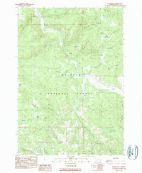 1990 Susanville1990 Print · USGSGrant County’s mining and forest history comes into focus in this late-twentieth-century study of the Blue Mountains. Genealogists and historians can trace the remote outposts of Susanville and Galena along the Middle Fork and the drainage of Armstrong Creek.
 - 1999 Map of Susanville, 2002 Print
 1999 Susanville2002 Print · USGSGrant County’s mining and ranching history is preserved in this late-century survey of the Malheur National Forest. Researchers can locate old mining operations at Susanville, the quiet settlement of Galena, and family-named landmarks like O'Rourke Ranch.
 - 2011 Map of Susanville, 2011 Print
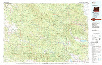
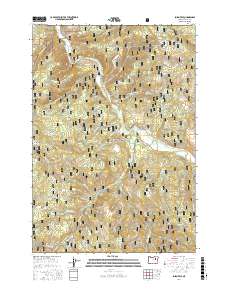
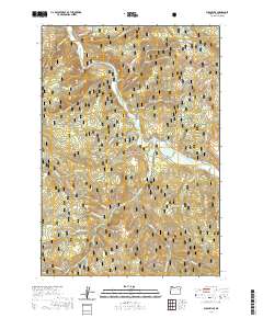
 2011 Susanville2011 Print · USGSCovers Galena, including Grant County, United States, and other nearby areas
 - 2017 Map of Susanville, 2017 Print
 2017 Susanville2017 Print · USGSCovers Galena, including Grant County, United States, and other nearby areas
 - 2020 Map of Susanville, 2020 Print
 2020 Susanville2020 Print · USGSCovers Galena, including Grant County, United States, and other nearby areas
 - 2023 Map of Susanville, 2023 Print
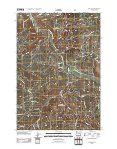
 2023 Susanville2023 Print · USGSGrant County’s high country is documented here in the early twenty-first century, showing the forest and river systems of the Blue Mountains region. Researchers can locate the Galena Cem and trace the paths of Middle Fork John Day River and Elk Creek.
End of results
Showing maps 1-11 of 11
Frequently asked questions
- What are the different types of historical maps available for Galena?
- What is the oldest map of Galena?
- Where can I purchase historical maps of Galena for my home or office?
- Where can I download high-res historical maps of Galena?
- Are there historical topographic maps available for Galena?
- Is there historical aerial imagery available for Galena?
- Where are historical maps of Galena sourced from?