Old Maps of Galena, Oregon for Hiking & Exploration
Hike through history with 12 historic maps of Galena. Explore old trails, ghost towns, and forgotten backroads — perfect for outdoor adventurers and local explorers.
- Rediscover forgotten places: Map out old mining camps, roads, and footpaths that no longer exist on modern maps.
- Layer with modern tools: Combine with LiDAR or satellite views to plan hikes through historical terrain.
- Made for exploration: Popular among hikers, overlanders, and local history lovers.
Use these maps to find adventure and explore the hidden past of Galena.
Galena, OR maps
(12)- 1949 Map of Susanville, 1966 Print
 1949 Susanville1966 Print · USGSGrant County’s high country is captured here during the post-war era, showing the intersection of the Malheur National Forest and Whitman National Forest. Local historians can trace early wilderness infrastructure at Galena, the Hi Yu Guard Station, and isolated sites like Hamburger Cabin.
 - 1951 Map of Susanville
 1951 Susanville1951 Print · USGSThe Middle Fork of the John Day River corridor is shown here in the mid-twentieth century, at the meeting of two national forests. Genealogists and researchers can trace the roads and trails connecting Susanville, Galena, and the remote HiYu Guard Station.2 unique versions available
 - 1955 Map of Canyon City, 1966 Print
 1955 Canyon City1966 Print · USGSCentral Oregon's high desert and timber country are captured here in the mid-fifties, showing the rugged ranching and logging landscape. Trace the path of the Sumpter Valley Ry or locate remote settlements like Izee, Whitney, and Ritter.4 unique versions available
 - 1959 Map of Canyon City
 1959 Canyon City1959 Print · USGSEastern Oregon in the late fifties was a landscape of high timber and remote river valleys shaped by the cattle and mining trades. Genealogists and historians can trace the paths of the Sumpter Valley RR and find early settlements like Antone, Richmond, and Dayville.2 unique versions available
 - 1987 Map of Bates
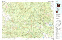 1987 Bates1987 Print · USGSEastern Oregon's rugged mining and timber heartland is detailed here in the late 1980s. Local historians and genealogists can trace the Sumpter Valley Railroad and find historic mining sites like the Standard Mine and settlements at Greenhorn or Galena.
 - 1990 Map of Susanville
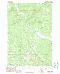 1990 Susanville1990 Print · USGSGrant County’s mining and forest history comes into focus in this late-twentieth-century study of the Blue Mountains. Genealogists and historians can trace the remote outposts of Susanville and Galena along the Middle Fork and the drainage of Armstrong Creek.
 - 1999 Map of Susanville, 2002 Print
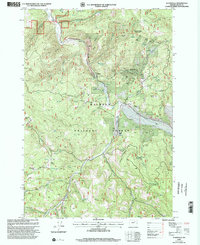 1999 Susanville2002 Print · USGSGrant County’s mining and ranching history is preserved in this late-century survey of the Malheur National Forest. Researchers can locate old mining operations at Susanville, the quiet settlement of Galena, and family-named landmarks like O'Rourke Ranch.
 - 2011 Map of Susanville, 2011 Print
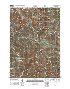 2011 Susanville2011 Print · USGSGrant County’s mining and ranching heritage is centered here along the Middle Fork John Day River in the early 2000s. Genealogists and local historians can trace legacy sites like Galena Cemetery, the old Gem Mine, and the O'Rorke Ranch.
 - 2014 Map of Susanville, 2014 Print
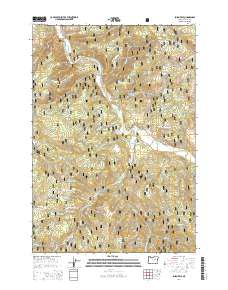 2014 Susanville2014 Print · USGSGrant County’s high-country mining and timber landscapes are captured here in the early twenty-first century. Genealogists and local historians can trace the foundations of Galena and Susanville, locating the Galena Cem and landmarks like Arch Rock.
 - 2017 Map of Susanville, 2017 Print
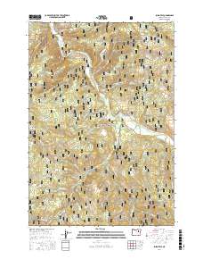 2017 Susanville2017 Print · USGSGrant County’s interior forest lands are captured here in the late twenty-tens, showing the quiet mountain settlements and river valleys. Genealogists and historians can trace the sites of Galena and Susanville, alongside landmarks like Galena Cem and Arch Rock.
 - 2020 Map of Susanville, 2020 Print
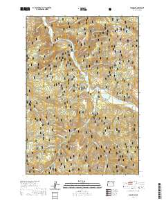 2020 Susanville2020 Print · USGSThe Middle Fork John Day River corridor and the Malheur National Forest are captured here in 2020. Researchers can trace the layout of Galena and Susanville, locate the Galena Cem, and identify landmarks like Chattanooga Mtn and Arch Rock.
 - 2023 Map of Susanville, 2023 Print
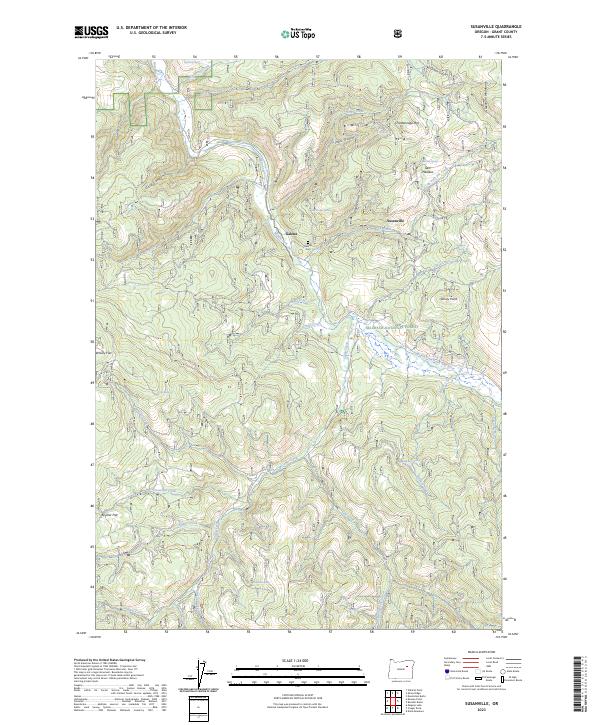 2023 Susanville2023 Print · USGSGrant County’s high country is documented here in the early twenty-first century, showing the forest and river systems of the Blue Mountains region. Researchers can locate the Galena Cem and trace the paths of Middle Fork John Day River and Elk Creek.
End of results
Showing maps 1-12 of 12
Frequently asked questions
- What are the different types of historical maps available for Galena?
- What is the oldest map of Galena?
- Where can I purchase historical maps of Galena for my home or office?
- Where can I download high-res historical maps of Galena?
- Are there historical topographic maps available for Galena?
- Is there historical aerial imagery available for Galena?
- Where are historical maps of Galena sourced from?