Old Maps of Cascade Gorge, Oregon for Genealogy
Trace your family roots with 15 historic maps of Cascade Gorge. These high-res maps reveal old neighborhoods, homesites, landmarks, and streets — helping you uncover where your ancestors lived and how the area evolved over time.
- Explore historic neighborhoods: Identify where your relatives may have lived in the 1800s or 1900s.
- Compare maps over time: Trace the changes in streets, buildings, and landmarks for multi-generational research.
- Perfect for genealogy & ancestry research: Used by family historians and researchers to map out lineage and migration.
These maps are an incredible resource for exploring your personal connection to Cascade Gorge's past.
Cascade Gorge, OR maps
(15)- 1891 Map of Ashland
 1891 Ashland1891 Print · USGSSouthern Oregon's Rogue River Valley was undergoing rapid transformation in the late nineteenth century as rail lines connected its emerging towns. Genealogists and historians can trace early property and settlement patterns near Jacksonville, Medford, and the pristine Crater Lake basin.
 - 1893 Map of Ashland
 1893 Ashland1893 Print · USGSSouthern Oregon in the late nineteenth century was a region of rapid change as the Oregon and California R. R. linked the valley floor. Researchers can trace the early footprints of Jacksonville, Medford, and Ashland, or locate landmarks like Crater Lake and Mt Pitt.6 unique versions available
 - 1897 Map of Ashland, 1937 Print
 1897 Ashland1937 Print · USGSSouthern Oregon's Rogue River Valley is captured here in the late nineteenth century as the railroad began to transform local commerce. Trace the early footprints of Jacksonville and Medford, or locate remote landmarks like Wizard Island and the high peaks of the Rogue River National Forest.
 - 1954 Map of Butte Falls, 1956 Print
 1954 Butte Falls1956 Print · USGSJackson County timber and ranching life are detailed here in the mid-fifties, centered on the logging hub of Butte Falls. You can trace the Aqueduct Logging Railroad, locate family properties like Frendenburg Ranch, and find the McLeod Covered Bridge.3 unique versions available
 - 1955 Map of Medford, 1964 Print
 1955 Medford1964 Print · USGSSouthern Oregon's valley towns and high peaks are captured here in the mid-1950s, showing the region before the completion of the modern interstate system. Genealogists and historians can trace the development of timber and mining outposts from Wolf Creek to Butte Falls and the early roads to Crater Lake.3 unique versions available
 - 1957 Map of Medford
 1957 Medford1957 Print · USGSSouthern Oregon during the mid-fifties is captured here as a region of growing valley cities and vast timberlands. Genealogists and historians can trace the rail-and-road corridors connecting Medford, Jacksonville, and Grants Pass to more remote locales like Wolf Creek or Butte Falls.
 - 1958 Map of Medford
 1958 Medford1958 Print · USGSSouthern Oregon's Rogue River valley thrived in the 1950s as a crossroads of rail and road. Researchers can trace the legacy of timber and tourism through Southern Pacific RR lines and landmarks like Crater Lake and Oregon Caves National Monument.
 - 1988 Map of Cascade Gorge
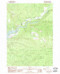 1988 Cascade Gorge1988 Print · USGSThe Rogue River corridor underwent significant changes by the late eighties, dominated by the reservoir and forest lands. Genealogists and historians can trace local landmarks like Katydid Ranch, the small Cem, and the steep terrain of Flounce Rock.
 - 1989 Map of Crater Lake, 1990 Print
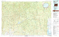 1989 Crater Lake1990 Print · USGSJackson County and the High Cascades are captured in the late eighties, showing a landscape shaped by vast national forests and the deep waters of Crater Lake. You can trace rural life near Prospect and Butte Falls or locate landmarks like the Cinnabar Mine and Wizard Island.
 - 1997 Map of Cascade Gorge, 2000 Print
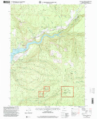 1997 Cascade Gorge2000 Print · USGSThe Rogue River watershed in Jackson County is shown here in the late nineties, centered on the Cascade Gorge and Lost Creek Lake. Genealogists and hikers can locate the small Cem near the river or trace the old roads around Joseph Stewart State Park.
 - 2011 Map of Cascade Gorge, 2011 Print
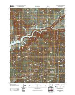 2011 Cascade Gorge2011 Print · USGSJackson County's rugged upper Rogue River canyon is shown here in the early twenty-first century, centered on the waters of Lost Creek Lake. Genealogists and local historians can locate Nye Cemetery, Katydid Ranch, and the engineering of the P P & L Canal.
 - 2014 Map of Cascade Gorge, 2014 Print
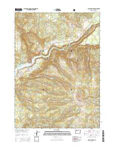 2014 Cascade Gorge2014 Print · USGSCovers Cascade Gorge, including Jackson County, United States, and other nearby areas
 - 2017 Map of Cascade Gorge, 2017 Print
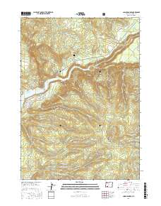 2017 Cascade Gorge2017 Print · USGSCovers Cascade Gorge, including Jackson County, United States, and other nearby areas
 - 2020 Map of Cascade Gorge, 2020 Print
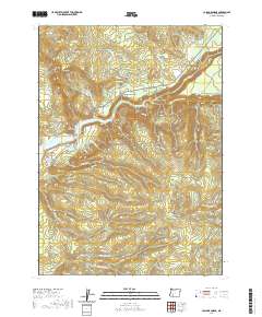 2020 Cascade Gorge2020 Print · USGSCovers Cascade Gorge, including Jackson County, United States, and other nearby areas
 - 2024 Map of Cascade Gorge, 2024 Print
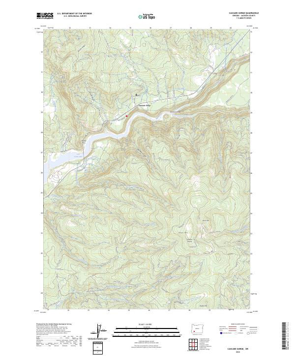 2024 Cascade Gorge2024 Print · USGSUpper Jackson County is defined by its timbered ridges and river-cut canyons during this modern survey. Researchers can locate the Nye Cemetery, trace the course of the P P & L Canal, or explore the shoreline of Lost Creek Lake.
End of results
Showing maps 1-15 of 15
Top cities near Cascade Gorge
Frequently asked questions
- What are the different types of historical maps available for Cascade Gorge?
- What is the oldest map of Cascade Gorge?
- Where can I purchase historical maps of Cascade Gorge for my home or office?
- Where can I download high-res historical maps of Cascade Gorge?
- Are there historical topographic maps available for Cascade Gorge?
- Is there historical aerial imagery available for Cascade Gorge?
- Where are historical maps of Cascade Gorge sourced from?