Old Maps of Lincoln, Oregon for Hiking & Exploration
Hike through history with 14 historic maps of Lincoln. Explore old trails, ghost towns, and forgotten backroads — perfect for outdoor adventurers and local explorers.
- Rediscover forgotten places: Map out old mining camps, roads, and footpaths that no longer exist on modern maps.
- Layer with modern tools: Combine with LiDAR or satellite views to plan hikes through historical terrain.
- Made for exploration: Popular among hikers, overlanders, and local history lovers.
Use these maps to find adventure and explore the hidden past of Lincoln.
Lincoln, OR maps
(14)- 1891 Map of Ashland
 1891 Ashland1891 Print · USGSSouthern Oregon's Rogue River Valley was undergoing rapid transformation in the late nineteenth century as rail lines connected its emerging towns. Genealogists and historians can trace early property and settlement patterns near Jacksonville, Medford, and the pristine Crater Lake basin.
 - 1893 Map of Ashland
 1893 Ashland1893 Print · USGSSouthern Oregon in the late nineteenth century was a region of rapid change as the Oregon and California R. R. linked the valley floor. Researchers can trace the early footprints of Jacksonville, Medford, and Ashland, or locate landmarks like Crater Lake and Mt Pitt.6 unique versions available
 - 1897 Map of Ashland, 1937 Print
 1897 Ashland1937 Print · USGSSouthern Oregon's Rogue River Valley is captured here in the late nineteenth century as the railroad began to transform local commerce. Trace the early footprints of Jacksonville and Medford, or locate remote landmarks like Wizard Island and the high peaks of the Rogue River National Forest.
 - 1955 Map of Hyatt Reservoir, 1957 Print
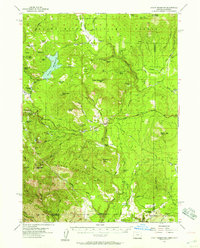 1955 Hyatt Reservoir1957 Print · USGSSouthern Oregon and the California borderlands are mapped here in the mid-fifties, capturing a landscape of high-altitude ranching and forest management. Researchers can trace historic homesteads like Schoolhouse Ranch or the small settlement of Lincoln near its mountain millpond.3 unique versions available
 - 1955 Map of Medford, 1964 Print
 1955 Medford1964 Print · USGSSouthern Oregon's valley towns and high peaks are captured here in the mid-1950s, showing the region before the completion of the modern interstate system. Genealogists and historians can trace the development of timber and mining outposts from Wolf Creek to Butte Falls and the early roads to Crater Lake.3 unique versions available
 - 1957 Map of Medford
 1957 Medford1957 Print · USGSSouthern Oregon during the mid-fifties is captured here as a region of growing valley cities and vast timberlands. Genealogists and historians can trace the rail-and-road corridors connecting Medford, Jacksonville, and Grants Pass to more remote locales like Wolf Creek or Butte Falls.
 - 1958 Map of Medford
 1958 Medford1958 Print · USGSSouthern Oregon's Rogue River valley thrived in the 1950s as a crossroads of rail and road. Researchers can trace the legacy of timber and tourism through Southern Pacific RR lines and landmarks like Crater Lake and Oregon Caves National Monument.
 - 1978 Map of Medford, 1994 Print
 1978 Medford1994 Print · USGSSouthern Oregon's Bear Creek Valley comes into sharp focus during the late seventies, showing the growth of Medford and Ashland along the rail lines. Local researchers can trace the development of White City, old routes through Sams Valley, and the irrigation infrastructure at Hyatt Reservoir.
 - 1988 Map of Soda Mountain
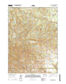
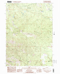 1988 Soda Mountain1988 Print · USGSThe Siskiyou Mountains along the Oregon-California border appear here in the late eighties, showing a landscape of high ridges and remote outposts. Researchers can trace the Pacific Crest National Scenic Trail as it passes Schoolhouse Ranch, Lincoln, and the Pinghurst State Airport.2 unique versions available
 - 2011 Map of Soda Mountain, 2011 Print
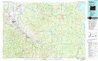
 2011 Soda Mountain2011 Print · USGSCovers Lincoln, including Mountain View, Jackson County, and other nearby areas
 - 2014 Map of Soda Mountain, 2014 Print
 2014 Soda Mountain2014 Print · USGSCovers Lincoln, including Mountain View, Jackson County, and other nearby areas
 - 2017 Map of Soda Mountain, 2017 Print
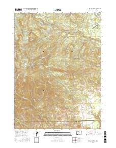 2017 Soda Mountain2017 Print · USGSCovers Lincoln, including Mountain View, Jackson County, and other nearby areas
 - 2020 Map of Soda Mountain, 2020 Print
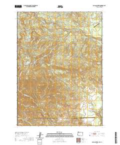 2020 Soda Mountain2020 Print · USGSCovers Lincoln, including Mountain View, Jackson County, and other nearby areas
 - 2023 Map of Soda Mountain, 2023 Print
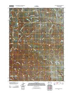
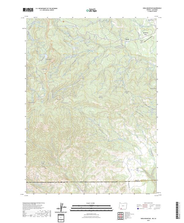 2023 Soda Mountain2023 Print · USGSThe Oregon-California borderlands are captured here in the early twenty-first century, showing the protected reaches of the Siskiyou Mountains. Hikers and historians can trace the Pacific Crest National Scenic Trl past Hobart Bluff or locate the remote Pinehurst State Airport near Lincoln.
End of results
Showing maps 1-14 of 14
Frequently asked questions
- What are the different types of historical maps available for Lincoln?
- What is the oldest map of Lincoln?
- Where can I purchase historical maps of Lincoln for my home or office?
- Where can I download high-res historical maps of Lincoln?
- Are there historical topographic maps available for Lincoln?
- Is there historical aerial imagery available for Lincoln?
- Where are historical maps of Lincoln sourced from?