Old Maps of Wimer, Oregon for Metal Detecting
Plan your next treasure hunt with 10 historic maps of Wimer. Find old homesites, ghost towns, trails, and gathering spots that may be lost to time — perfect for identifying promising metal detecting locations.
- Locate forgotten sites: Uncover places like long-lost settlements, abandoned rail lines, or gathering spots.
- Plan better hunts: Use map overlays combined with LiDAR or satellite views to narrow in on historically rich areas.
- Made for detectorists: Thousands of hobbyists use these maps to discover relics, coins, and hidden history.
Use these historic maps to boost your research and find new opportunities beneath the surface of Wimer.
Wimer, OR maps
(10)- 1904 Map of Riddle
 1904 Riddle1904 Print · USGSSouthern Oregon's mining and railroad corridor is captured here at the start of the twentieth century. Genealogists can trace family footprints through early settlements like Riddles and Galesville or locate specific claims like the Placer Star Mine.5 unique versions available
 - 1954 Map of Wimer, 1956 Print
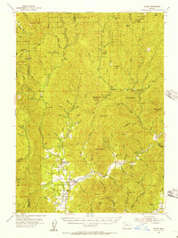 1954 Wimer1956 Print · USGSSouthern Oregon's timber and mountain country comes to life in the mid-fifties as the forest service network expands. Local historians can trace early rural life at Wimer, the Evans Valley Sch, and remote outposts like Salt Creek Guard Sta.3 unique versions available
 - 1955 Map of Medford, 1964 Print
 1955 Medford1964 Print · USGSSouthern Oregon's valley towns and high peaks are captured here in the mid-1950s, showing the region before the completion of the modern interstate system. Genealogists and historians can trace the development of timber and mining outposts from Wolf Creek to Butte Falls and the early roads to Crater Lake.3 unique versions available
 - 1957 Map of Medford
 1957 Medford1957 Print · USGSSouthern Oregon during the mid-fifties is captured here as a region of growing valley cities and vast timberlands. Genealogists and historians can trace the rail-and-road corridors connecting Medford, Jacksonville, and Grants Pass to more remote locales like Wolf Creek or Butte Falls.
 - 1958 Map of Medford
 1958 Medford1958 Print · USGSSouthern Oregon's Rogue River valley thrived in the 1950s as a crossroads of rail and road. Researchers can trace the legacy of timber and tourism through Southern Pacific RR lines and landmarks like Crater Lake and Oregon Caves National Monument.
 - 1983 Map of Wimer
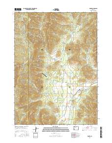
 1983 Wimer1983 Print · USGSThe rural Jackson County community of Wimer is documented here in the early eighties as a network of creek-side settlements and irrigation works. Researchers can trace land use through features like the Spring Brook Airport, Vroman Ditch, and the Pleasant Creek Forest Station.
 - 1989 Map of Canyonville
 1989 Canyonville1989 Print · USGSSouthern Oregon's timber and rail corridors come into focus during the late eighties as communities like Canyonville and Riddle anchor the local economy. Researchers can trace the path of the Southern Pacific Railroad and locate early settlements such as Placer, Leland, and Sunny Valley.2 unique versions available
 - 1996 Map of Wimer, 1999 Print
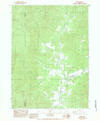
 1996 Wimer1999 Print · USGSEvans Valley at the close of the twentieth century shows a landscape where timber and agriculture meet. Genealogists and historians can trace local landmarks like Wimer, the Pleasant Creek Forest Station, and the private Spring Brook Airport.
 - 2017 Map of Wimer, 2017 Print
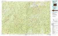
 2017 Wimer2017 Print · USGSCovers Wimer, including Jackson County, Josephine County, and other nearby areas
 - 2023 Map of Wimer, 2023 Print
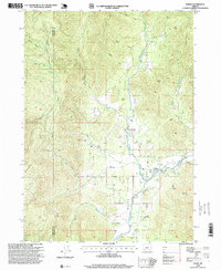
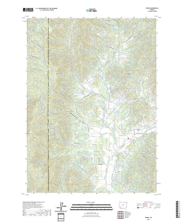 2023 Wimer2023 Print · USGSThe rural community of Wimer and the fertile Evans Valley are captured here in the early twenty-first century. Researchers can trace historic water rights and local landmarks like Springbrook Airport, Vroman Ditch, and the aptly named Covered Bridge Rd.
End of results
Showing maps 1-10 of 10
Top cities near Wimer
- Grants Pass historical maps
- Central Point historical maps
- Jacksonville historical maps
- Rogue River historical maps
- Gold Hill historical maps
Frequently asked questions
- What are the different types of historical maps available for Wimer?
- What is the oldest map of Wimer?
- Where can I purchase historical maps of Wimer for my home or office?
- Where can I download high-res historical maps of Wimer?
- Are there historical topographic maps available for Wimer?
- Is there historical aerial imagery available for Wimer?
- Where are historical maps of Wimer sourced from?