2000s (21st Century) Maps of Madras, Oregon
Explore 15 historic maps of Madras from the 2000s (21st Century). These maps offer a rare glimpse into what life looked like during the 2000s — showing old roads, neighborhoods, homes, and landmarks that have changed or disappeared over time.
Whether you're researching your family's past, planning a metal detecting trip, or studying how Madras's landscape evolved across the 2000s, these high-resolution maps are a powerful tool for exploring the history of this region.
- Focus on a specific era: All maps on this page are from the 2000s, giving you a focused view of this time period.
- See what’s changed: Compare century-old streets, trails, and buildings to today's modern landscape using overlays and satellite layers.
- Research with precision: Use these maps for genealogy, historical research, land use analysis, or educational projects.
- View, download, or print: Maps are fully viewable online in high resolution, and can be downloaded or printed for your own records.
Start exploring Madras's history through authentic maps from the 2000s. This is your window into the past.
Madras, OR maps
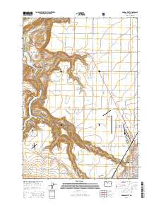
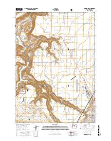
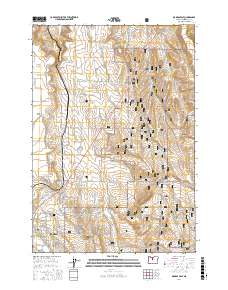
(15)- 2011 Map of Buck Butte, 2011 Print
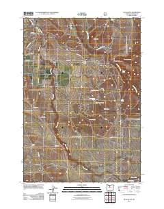 2011 Buck Butte2011 Print · USGSCovers Madras, including Jefferson County, United States, and other nearby areas
 - 2011 Map of Madras East, 2011 Print
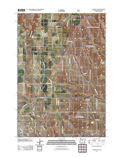 2011 Madras East2011 Print · USGSCovers Madras, including Jefferson County, United States, and other nearby areas
 - 2014 Map of Madras East, 2014 Print
 2014 Madras East2014 Print · USGSCovers Madras, including Jefferson County, United States, and other nearby areas
 - 2014 Map of Buck Butte, 2014 Print
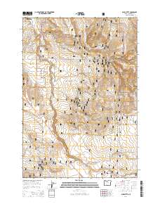 2014 Buck Butte2014 Print · USGSCovers Madras, including Jefferson County, United States, and other nearby areas
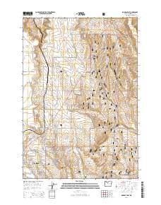
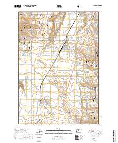
 - 2014 Map of Madras West, 2014 Print
 2014 Madras West2014 Print · USGSCovers Madras, including Jefferson County, United States, and other nearby areas
 - 2014 Map of Culver, 2014 Print
 2014 Culver2014 Print · USGSCovers Madras, including Culver, Metolius, and other nearby areas
 - 2017 Map of Madras West, 2017 Print
 2017 Madras West2017 Print · USGSCovers Madras, including Jefferson County, United States, and other nearby areas
 - 2017 Map of Buck Butte, 2017 Print
 2017 Buck Butte2017 Print · USGSCovers Madras, including Jefferson County, United States, and other nearby areas
 - 2017 Map of Madras East, 2017 Print
 2017 Madras East2017 Print · USGSCovers Madras, including Jefferson County, United States, and other nearby areas
 - 2020 Map of Culver, 2020 Print
 2020 Culver2020 Print · USGSCovers Madras, including Culver, Metolius, and other nearby areas
 - 2020 Map of Madras West, 2020 Print
 2020 Madras West2020 Print · USGSCovers Madras, including Jefferson County, United States, and other nearby areas
 - 2023 Map of Madras East, 2023 Print
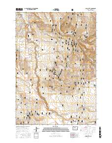
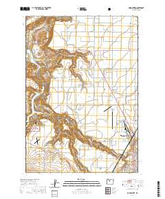
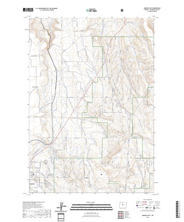 2023 Madras East2023 Print · USGSJefferson County's high plateaus and canyon lands are captured here in the early 2020s. Genealogists and historians can trace local roots at the Mount Jefferson IOOF Cem or explore the geography of Agency Plains and Mud Springs Valley.
 - 2023 Map of Buck Butte, 2023 Print
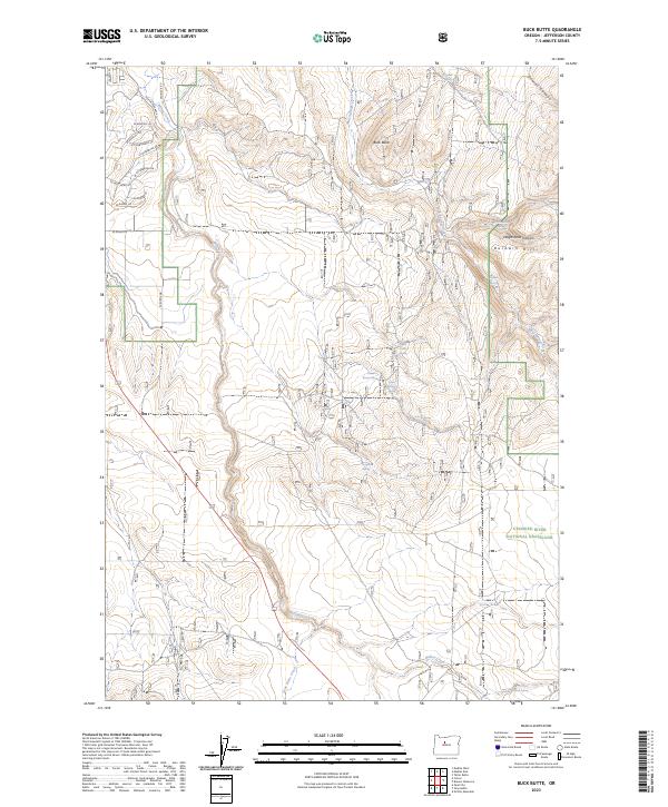 2023 Buck Butte2023 Print · USGSIn the high desert of central Oregon during the 2020s, this area shows the essential relationship between water and the landscape. Trace the drainage of Willow Creek and locate vital remote water sources like McMeen Spring and Cottonwood Spring within the Crooked River National Grassland.
 - 2023 Map of Culver, 2023 Print
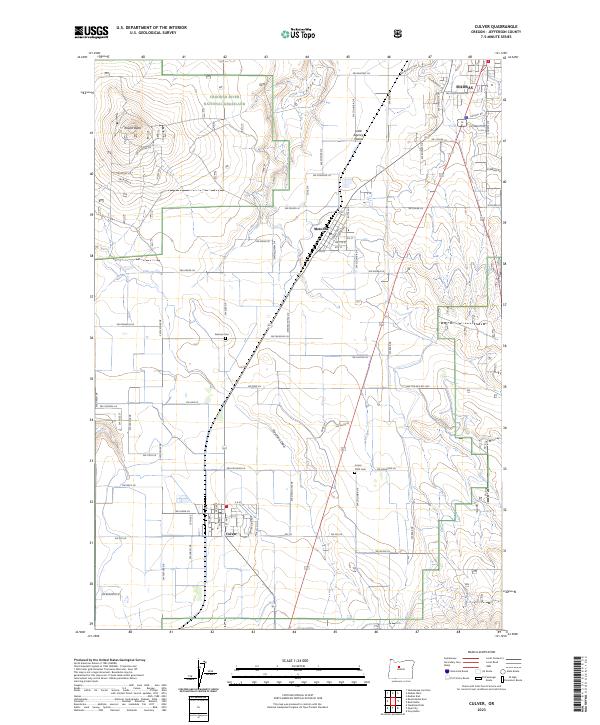 2023 Culver2023 Print · USGSJefferson County’s high-desert plains and agricultural corridors are shown here in the contemporary era. Genealogists and local historians can trace family locations near the German Cem, the town of Metolius, or the foothills of Round Butte.
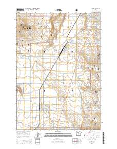
 - 2024 Map of Madras West, 2024 Print
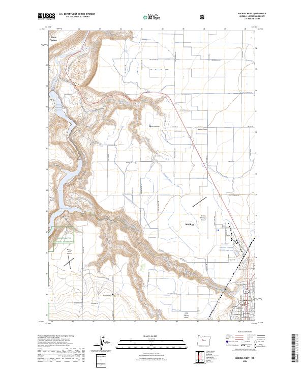 2024 Madras West2024 Print · USGSMadras and the surrounding Jefferson County high desert are shown here in recent years as the region balances agriculture and industry. Genealogists can locate the Milo Gard Cem and Round Butte Cem or trace the canyons of Campbell Creek and Willow Creek.
End of results
Showing maps 1-15 of 15
Top cities near Madras
Frequently asked questions
- What are the different types of historical maps available for Madras?
- What is the oldest map of Madras?
- Where can I purchase historical maps of Madras for my home or office?
- Where can I download high-res historical maps of Madras?
- Are there historical topographic maps available for Madras?
- Is there historical aerial imagery available for Madras?
- Where are historical maps of Madras sourced from?