Old Maps of Bly, Oregon for Hiking & Exploration
Hike through history with 13 historic maps of Bly. Explore old trails, ghost towns, and forgotten backroads — perfect for outdoor adventurers and local explorers.
- Rediscover forgotten places: Map out old mining camps, roads, and footpaths that no longer exist on modern maps.
- Layer with modern tools: Combine with LiDAR or satellite views to plan hikes through historical terrain.
- Made for exploration: Popular among hikers, overlanders, and local history lovers.
Use these maps to find adventure and explore the hidden past of Bly.
Bly, OR maps
(13)- 1889 Map of Klamath
 1889 Klamath1889 Print · USGSSouthern Oregon in the late nineteenth century is a land of vast marshes and emerging frontier towns like Linkville. Historians can trace early government outposts at Ft. Klamath and Yainax Agency or locate family-named sites like Applegate Spr. and Olene.
 - 1894 Map of Klamath
 1894 Klamath1894 Print · USGSSouthern Oregon's high desert and lake country are captured in the 1880s, revealing a landscape of remote agencies and early frontier outposts. Genealogists and historians can trace the foundations of Linkville or locate the Yainax Agency and Ft. Klamath.6 unique versions available
 - 1955 Map of Klamath Falls, 1963 Print
 1955 Klamath Falls1963 Print · USGSSouthern Oregon's high desert and timber country are captured here during the mid-fifties, showing the rail-dependent economies of the basin. Genealogists and researchers can locate old outposts like the Keno Guard Station, the Bly Ranger Station, and the campus of the Oregon Technical Institute.4 unique versions available
 - 1958 Map of Klamath Falls
 1958 Klamath Falls1958 Print · USGSSouthern Oregon and the California borderlands are captured here in the mid-1950s during a peak era for the region's timber and rail industries. Trace the historic Klamath Indian Reservation boundaries and the rail lines of the Great Northern RR and the Oregon California and Eastern RR that connected remote towns like Bly and Beatty.3 unique versions available
 - 1960 Map of Bly, 1961 Print
 1960 Bly1961 Print · USGSBly and the surrounding high-timber country of Klamath County are shown here at the start of the 1960s. Genealogists and historians can trace old homesteads like Vinson Ranch, find the Masekesket Cem, and follow the path of the Oregon California and Eastern Railroad.2 unique versions available
 - 1988 Map of Bly
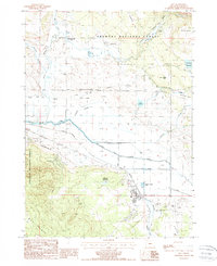 1988 Bly1988 Print · USGSBly and the surrounding Klamath County timberlands are captured here during the late eighties, showing a landscape shaped by the logging industry. Researchers can trace the legacy of the timber era through the Logging Railroad, the Ivory Pine Mill (Site), and the Garner (Site).
 - 1991 Map of Klamath Falls, 1992 Print
 1991 Klamath Falls1992 Print · USGSSouthern Oregon's high desert and timber basins are captured here in the early nineties, centered on the rail and river networks of the Klamath Basin. Genealogists and researchers can trace local settlements from Beatty and Bly to the agricultural grids of Merrill and Dairy.
 - 2004 Map of Bly, 2007 Print
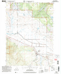 2004 Bly2007 Print · USGSKlamath County timber and ranching lands come into focus in the early 2000s near the junction of the Sprague River forks. Researchers can trace the heritage of the wood industry at the Ivory Pine Mill (Site) and find family landmarks like Hyde Reservoir and Garner (Site).
 - 2011 Map of Bly, 2011 Print
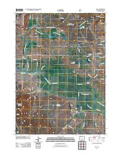 2011 Bly2011 Print · USGSBly and the surrounding Klamath County ranchlands are captured here in the early twenty-first century, showing a landscape defined by timber and water rights. Researchers can trace the layout of the town's core near Bly Siding and locate rural landmarks like Ivory Pine Mill and the Obenchain Ranch.
 - 2014 Map of Bly, 2014 Print
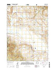 2014 Bly2014 Print · USGSThe rural community of Bly is captured here in the early twenty-first century, showing the intersection of timber lands and valley ranching. Researchers can trace local landmarks like Allen's Airstrip, Bly Ridge, and the branching waters of the Sprague River.
 - 2017 Map of Bly, 2017 Print
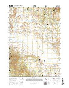 2017 Bly2017 Print · USGSThe community of Bly is depicted in the mid-2010s at the intersection of the Sprague River and the vast Fremont National Forest. Researchers can trace the local water and aviation history through features like N Fork Ditch, Whitmore Reservoir, and Allen's Airstrip.
 - 2020 Map of Bly, 2020 Print
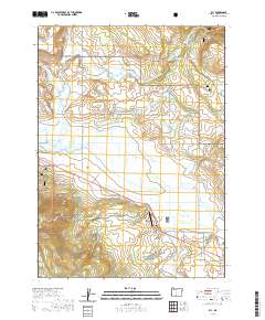 2020 Bly2020 Print · USGSBly and the surrounding Fremont National Forest are shown in detail during the early twenty-first century as the high-desert landscape balances ranching and timber. Trace the complex irrigation of the Sprague River forks via the Elder Ditch and Leonard Slough.
 - 2023 Map of Bly, 2023 Print
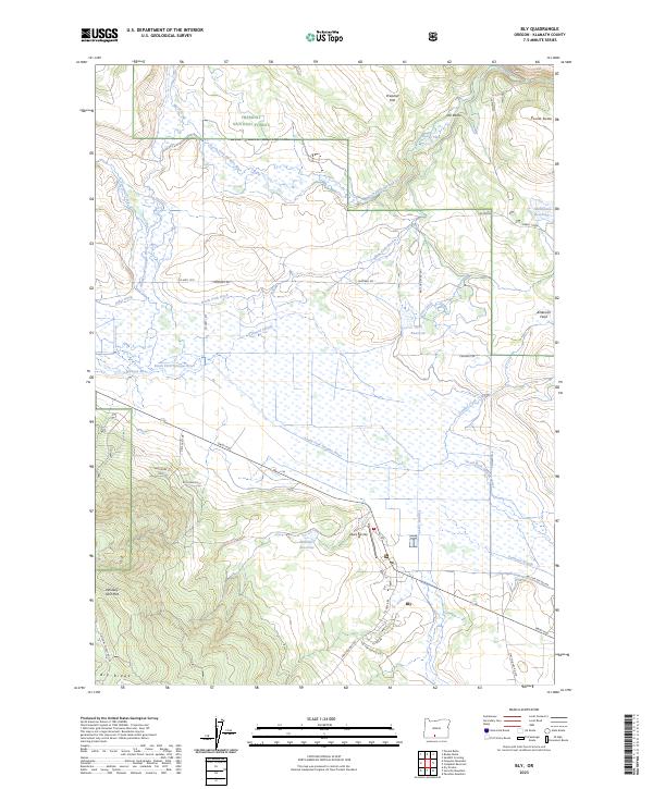 2023 Bly2023 Print · USGSBly and the surrounding Sprague River basin appear here in this contemporary survey of Klamath County. Researchers can locate localized landmarks such as Allens Airstrip, trace the path of Gayheart Slough, and explore the margins of the Fremont National Forest.
End of results
Showing maps 1-13 of 13
Frequently asked questions
- What are the different types of historical maps available for Bly?
- What is the oldest map of Bly?
- Where can I purchase historical maps of Bly for my home or office?
- Where can I download high-res historical maps of Bly?
- Are there historical topographic maps available for Bly?
- Is there historical aerial imagery available for Bly?
- Where are historical maps of Bly sourced from?