Old Maps of Modoc Point, Oregon
Explore 13 old maps of Modoc Point, spanning from 1889 to today. These high-resolution historic maps reveal how streets, neighborhoods, landmarks, and natural features evolved over time — perfect for genealogy, metal detecting, research, and local history exploration.
What you can do with these maps:
- See how Modoc Point changed over time: Compare historical maps to modern-day views to trace roads, homesites, rail lines & more.
- View detailed metadata: Each map includes creators, publishers, year, scale, and archive source.
- Overlay maps with satellite & LiDAR: Visualize the past alongside modern tools to explore terrain & human change.
- Trusted historical sources: Maps sourced from the USGS, Library of Congress, and other archives.
- Access maps your way: View online, download high-res files, or order prints for personal or research use.
Start exploring old maps of Modoc Point to uncover forgotten places, hidden landmarks, and the deep history beneath your feet.
Modoc Point, OR maps
(13)- 1889 Map of Klamath
 1889 Klamath1889 Print · USGSSouthern Oregon in the late nineteenth century is a land of vast marshes and emerging frontier towns like Linkville. Historians can trace early government outposts at Ft. Klamath and Yainax Agency or locate family-named sites like Applegate Spr. and Olene.
 - 1894 Map of Klamath
 1894 Klamath1894 Print · USGSSouthern Oregon's high desert and lake country are captured in the 1880s, revealing a landscape of remote agencies and early frontier outposts. Genealogists and historians can trace the foundations of Linkville or locate the Yainax Agency and Ft. Klamath.6 unique versions available
 - 1955 Map of Klamath Falls, 1963 Print
 1955 Klamath Falls1963 Print · USGSSouthern Oregon's high desert and timber country are captured here during the mid-fifties, showing the rail-dependent economies of the basin. Genealogists and researchers can locate old outposts like the Keno Guard Station, the Bly Ranger Station, and the campus of the Oregon Technical Institute.4 unique versions available
 - 1957 Map of Modoc Point, 1966 Print
 1957 Modoc Point1966 Print · USGSUpper Klamath Lake in the mid-fifties reveals a landscape of industrial timber sites and tribal lands along the Southern Pacific line. Researchers can trace the Algoma Incline (Site), locate family roots near David Hill Cem, and explore the reclaimed expanses of Caledonia Marsh.2 unique versions available
 - 1958 Map of Klamath Falls
 1958 Klamath Falls1958 Print · USGSSouthern Oregon and the California borderlands are captured here in the mid-1950s during a peak era for the region's timber and rail industries. Trace the historic Klamath Indian Reservation boundaries and the rail lines of the Great Northern RR and the Oregon California and Eastern RR that connected remote towns like Bly and Beatty.3 unique versions available
 - 1985 Map of Modoc Point
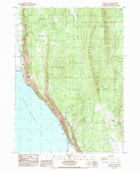 1985 Modoc Point1985 Print · USGSThe eastern shores of Upper Klamath Lake are mapped here in the mid-1980s, where the massive Modoc Rim meets the water. Researchers can trace the path of the Southern Pacific railroad past Sucker Spring and explore the interior of the Winema National Forest.
 - 1991 Map of Klamath Falls, 1992 Print
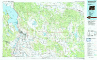 1991 Klamath Falls1992 Print · USGSSouthern Oregon's high desert and timber basins are captured here in the early nineties, centered on the rail and river networks of the Klamath Basin. Genealogists and researchers can trace local settlements from Beatty and Bly to the agricultural grids of Merrill and Dairy.
 - 1998 Map of Modoc Point, 2000 Print
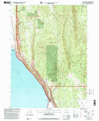 1998 Modoc Point2000 Print · USGSThe eastern shores of Klamath Lake come alive in the late 1990s as the rugged Modoc Rim meets the vast Winema National Forest. Researchers can trace the path of the Alcoma Aqueduct or locate family-named sites like Telephone Flat and the evocative Hell for Slim.
 - 2011 Map of Modoc Point, 2011 Print
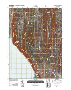 2011 Modoc Point2011 Print · USGSUpper Klamath Lake meets the towering Modoc Rim in this 2011 survey of the Oregon high country. Local historians and researchers can trace the reach of Modoc Point and search for unique family-named landmarks like Barkley Spring and Hell for Slim Draw.
 - 2014 Map of Modoc Point, 2014 Print
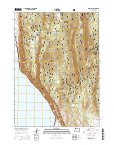 2014 Modoc Point2014 Print · USGSThe eastern shore of Upper Klamath Lake comes into focus in this recent survey of the Klamath Basin. Genealogists and hikers can trace the shoreline at Modoc Point or locate remote high-country features like Telephone Flat and Hell for Slim Draw.
 - 2017 Map of Modoc Point, 2017 Print
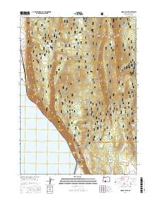 2017 Modoc Point2017 Print · USGSUpper Klamath Lake meets the steep ridges of the Winema National Forest in this modern era survey of the Oregon lakeshore. Researchers can locate natural water sources like Yellow Jacket Spring and trace forest access routes through Telephone Flat or Chiloquin Ridge.
 - 2020 Map of Modoc Point, 2020 Print
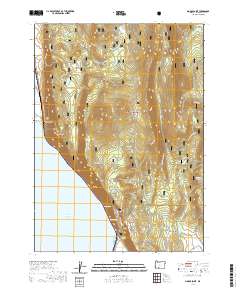 2020 Modoc Point2020 Print · USGSUpper Klamath Lake meets the forested heights of the Winema National Forest in this modern survey. Researchers can trace the rugged shoreline and locate local landmarks like Barkley Spring, Modoc Point, and Dry Lakes Flat.
 - 2023 Map of Modoc Point, 2023 Print
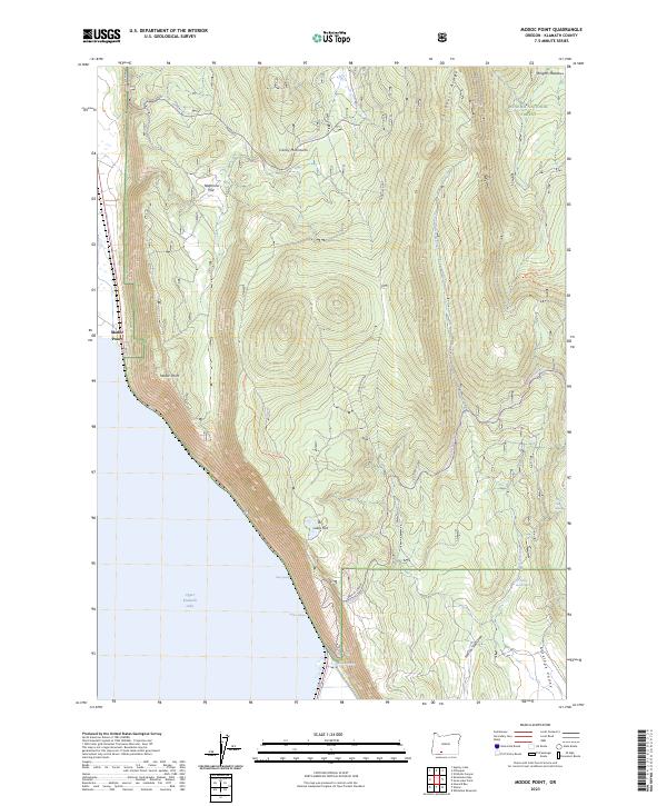 2023 Modoc Point2023 Print · USGSThe eastern shore of Upper Klamath Lake comes into sharp focus in this recent survey of the Winema National Forest. Outdoor enthusiasts and local researchers can trace the rugged ascent from Modoc Point to Telephone Flat or find remote water sources like Yellow Jacket Spring.
End of results
Showing maps 1-13 of 13
Top cities near Modoc Point
Frequently asked questions
- What are the different types of historical maps available for Modoc Point?
- What is the oldest map of Modoc Point?
- Where can I purchase historical maps of Modoc Point for my home or office?
- Where can I download high-res historical maps of Modoc Point?
- Are there historical topographic maps available for Modoc Point?
- Is there historical aerial imagery available for Modoc Point?
- Where are historical maps of Modoc Point sourced from?