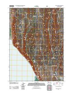
2011 Map of Modoc Point
USGS Topo · Published 2011About this map
Upper Klamath Lake dominates the southwestern corner of this Klamath County landscape, bounded by the dramatic uplift of the Modoc Rim. The settlement at Modoc Point sits at the base of this geographical divider, where the terrain transitions from the water's edge to the high plateaus of Chiloquin Ridge. A network of forest and service roads, including Algoma Rd and Yellow Jacket Springs Rd, weaves through a series of high-altitude basins like Telephone Flat and Dry Lakes Flat. The area is notably punctuated by essential water sources for the arid region, including Barkley Spring, Ouxy Spring, and Sucker Spring. Curious local nomenclature is preserved in names such as Hell for Slim Draw, located near the drainage of Anderson Creek in the eastern hills.
Find a feature on this map
15 named features on this map. Tap any name to fly to it.
Don’t see what you’re looking for? This feature index may not catch every label — zoom into the map to look around manually.
Map Details
Editions of this 2011 Modoc Point Map
This is the sole edition of this map. No revisions or reprints were ever made.
Other maps of this area
1889 · Klamath
USGS Topo · 1:250,000
1894 · Klamath
USGS Topo · 1:250,000
1955 · Klamath Falls
USGS Topo · 1:250,000
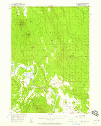
1956 · Calimus Butte
USGS Topo · 1:62,500
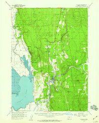
1957 · Chiloquin
USGS Topo · 1:62,500
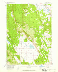
1957 · Swan Lake
USGS Topo · 1:62,500
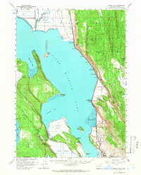
1957 · Modoc Point
USGS Topo · 1:62,500
1958 · Klamath Falls
USGS Topo · 1:250,000
1980 · Williamson River
USGS Topo · 1:100,000
1985 · Shoalwater Bay
USGS Topo · 1:24,000