2020s Maps of Oakridge, Oregon
Explore 2 historic maps of Oakridge from the 2020s. These maps offer a rare glimpse into what life looked like during the 2020s — showing old roads, neighborhoods, homes, and landmarks that have changed or disappeared over time.
Whether you're researching your family's past, planning a metal detecting trip, or studying how Oakridge's landscape evolved across the 2020s, these high-resolution maps are a powerful tool for exploring the history of this region.
- Focus on a specific era: All maps on this page are from the 2020s, giving you a focused view of this time period.
- See what’s changed: Compare century-old streets, trails, and buildings to today's modern landscape using overlays and satellite layers.
- Research with precision: Use these maps for genealogy, historical research, land use analysis, or educational projects.
- View, download, or print: Maps are fully viewable online in high resolution, and can be downloaded or printed for your own records.
Start exploring Oakridge's history through authentic maps from the 2020s. This is your window into the past.
Oakridge, OR maps
(2)- 2023 Map of Westfir East, 2023 Print
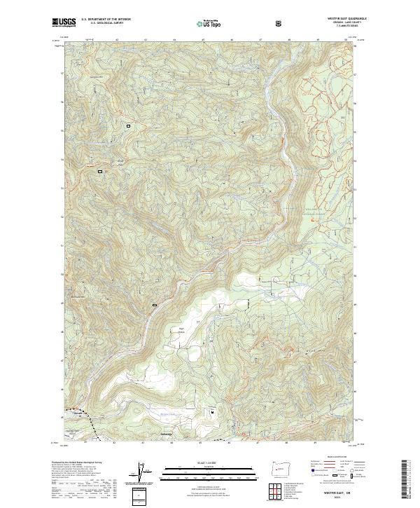 2023 Westfir East2023 Print · USGSThe Oregon Cascades near Lane County come into sharp focus here during the early 2020s, centering on the river junctions and mountain settlements. Researchers can locate Forestvale Cem, the Oakridge State Airport, and miles of timber-country paths like the Salmon Creek Trl.
 - 2024 Map of Oakridge, 2024 Print
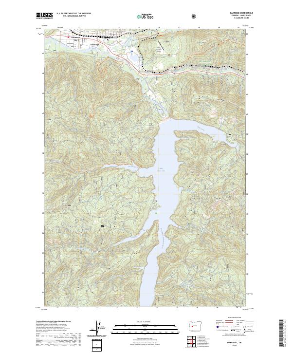 2024 Oakridge2024 Print · USGSOakridge and Willamette City appear at the foot of the Cascades in this modern record of Lane County’s river valleys. Researchers can trace the extensive shoreline of Hills Creek Lake and locate mountain landmarks like Kitson Ridge and Aubrey Mountain.
End of results
Showing maps 1-2 of 2
Top cities near Oakridge
Frequently asked questions
- What are the different types of historical maps available for Oakridge?
- What is the oldest map of Oakridge?
- Where can I purchase historical maps of Oakridge for my home or office?
- Where can I download high-res historical maps of Oakridge?
- Are there historical topographic maps available for Oakridge?
- Is there historical aerial imagery available for Oakridge?
- Where are historical maps of Oakridge sourced from?