Old Maps of Berlin, Oregon for Metal Detecting
Plan your next treasure hunt with 13 historic maps of Berlin. Find old homesites, ghost towns, trails, and gathering spots that may be lost to time — perfect for identifying promising metal detecting locations.
- Locate forgotten sites: Uncover places like long-lost settlements, abandoned rail lines, or gathering spots.
- Plan better hunts: Use map overlays combined with LiDAR or satellite views to narrow in on historically rich areas.
- Made for detectorists: Thousands of hobbyists use these maps to discover relics, coins, and hidden history.
Use these historic maps to boost your research and find new opportunities beneath the surface of Berlin.
Berlin, OR maps
(13)- 1951 Map of Sweet Home, 1952 Print
 1951 Sweet Home1952 Print · USGSLinn County’s timber and river corridors come alive in this early fifties survey of the Santiam valley. Genealogists and local historians can trace the Oregon Electric line and find old landmarks like the Berlin Cem, Sunnyside School, and the Hufford Bridge.4 unique versions available
 - 1953 Map of Salem
 1953 Salem1953 Print · USGSMid-century Oregon comes to life through this detailed survey of the Willamette Valley and the adjacent Pacific coastline. Researchers can trace the rail lines of the Southern Pacific RR, visit rural hubs like Fairview School, or locate coastal landmarks like the Yaquina Head Lighthouse.
 - 1954 Map of Salem
 1954 Salem1954 Print · USGSMid-century Western Oregon is centered on the productive Willamette River valley as its cities and infrastructure expand toward the mountains. Genealogists and historians can trace the rail lines of the Southern Pacific RR and Oregon Electric Ry through towns like Dallas, Independence, and Brownsville.
 - 1960 Map of Salem, 1968 Print
 1960 Salem1968 Print · USGSThe Willamette Valley and the surrounding mountain ranges are shown here in the 1960s during a period of significant reservoir construction. Genealogists and historians can trace rail lines like the Oregon Electric and find communities from Lincoln City on the coast to Sweet Home and Mill City in the foothills.2 unique versions available
 - 1962 Map of Salem
 1962 Salem1962 Print · USGSThe Willamette Valley and the surrounding Oregon ranges are captured here in the early sixties, showing the vital growth of the state's primary agricultural and academic corridor. Researchers can trace the mid-century footprints of Oregon State University and the University of Oregon, alongside rural landmarks like Camp Adair and Black Butte Mine.
 - 1963 Map of Salem
 1963 Salem1963 Print · USGSMid-century Oregon comes into focus as the Willamette Valley’s timber and agricultural industries meet the growing campuses of Oregon State University and the University of Oregon. Researchers can trace old rail lines like the Oregon Electric Railway and locate family plots at Siletz Cem or Dallas Cem.
 - 1983 Map of Mc Kenzie River, 1984 Print
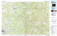 1983 Mc Kenzie River1984 Print · USGSLinn and Lane Counties are shown in the early 1980s as a hub of hydroelectric power and timber production. Researchers can trace the development of river-valley towns like Sweet Home and Marcola or locate recreation sites at Foster Lake and Cougar Reservoir.
 - 1984 Map of Sweet Home, 1985 Print
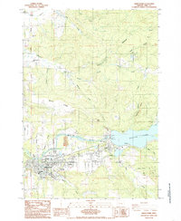 1984 Sweet Home1985 Print · USGSEastern Linn County comes into focus in the mid-1980s as a hub of timber and water management along the South Santiam River. Genealogists and historians can trace family sites like Gilland Cem and Lewis Cem or the layout of Berlin and Sweet Home.
 - 2011 Map of Sweet Home, 2011 Print
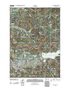 2011 Sweet Home2011 Print · USGSThe Linn County timber and river country is captured here during a period of modern development around the South Santiam River. Researchers can locate family roots at Berlin Cemetery or Wiley Cemetery and trace the local industry at the Willamette Log Pond.
 - 2014 Map of Sweet Home, 2014 Print
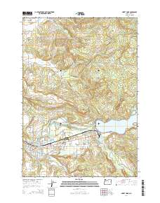 2014 Sweet Home2014 Print · USGSLinn County’s timber and river country is captured here in the twenty-first century, centered on the community of SWEET HOME. Local historians can trace family roots at Berlin Cem and Gillilland Cem or locate old homesteads near Foster Lake and Marks Ridge.
 - 2017 Map of Sweet Home, 2017 Print
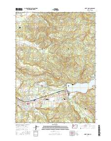 2017 Sweet Home2017 Print · USGSSweet Home and the South Santiam River valley are shown here in the late 2010s, illustrating a landscape shaped by timber and water. Researchers can trace local history through Berlin Cem, the Willamette Log Pond, and the settlement of Foster.
 - 2020 Map of Sweet Home, 2020 Print
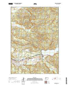 2020 Sweet Home2020 Print · USGSSweet Home and the South Santiam River valley are shown here in the early twenty-first century, highlighting a landscape shaped by timber and water. Researchers can locate family heritage sites like Ames Cem and Wiley Cem or trace old routes through Berlin and Lower Pleasant Valley.
 - 2024 Map of Sweet Home, 2024 Print
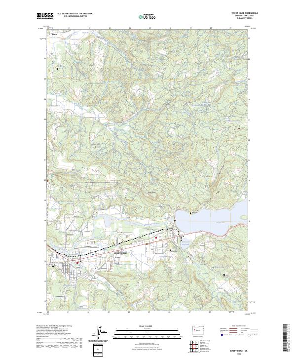 2024 Sweet Home2024 Print · USGSThe Sweet Home area and the South Santiam River valley are shown in detail as they appeared in 2024. Genealogists and local historians can trace family sites at Gilliland Cem, Ames Cem, and the timber-related Willamette Log Pond.
End of results
Showing maps 1-13 of 13
Top cities near Berlin
- Lebanon historical maps
- Sweet Home historical maps
- Brownsville historical maps
- Scio historical maps
- Sodaville historical maps
- Waterloo historical maps
Frequently asked questions
- What are the different types of historical maps available for Berlin?
- What is the oldest map of Berlin?
- Where can I purchase historical maps of Berlin for my home or office?
- Where can I download high-res historical maps of Berlin?
- Are there historical topographic maps available for Berlin?
- Is there historical aerial imagery available for Berlin?
- Where are historical maps of Berlin sourced from?